Ponte da Garda to Saimia Route

Ponteceso

Find out more about Ponte da Garda to Saimia Route

  • Route: Linear
  • Start/finish point: Garda Recreation Area
  • Length: 0.8 km
  • Approximate duration (round trip): 20 min.
  • Difficulty: Easy

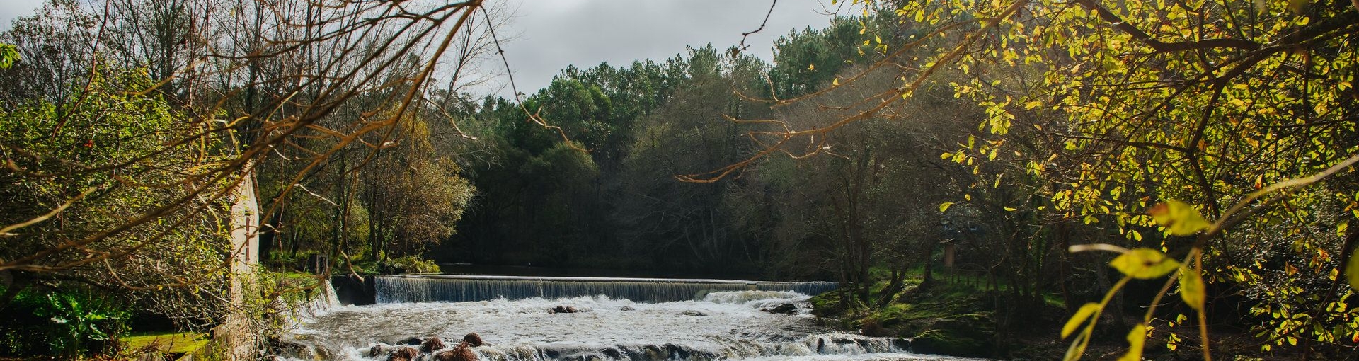
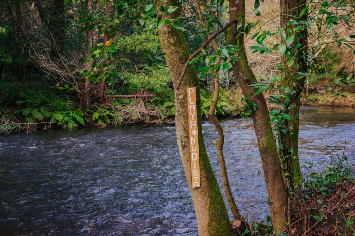
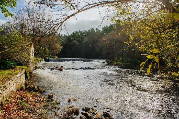
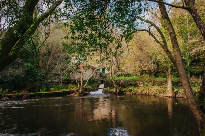
Route that goes up the Anllóns river, just one kilometre, between the bridge and recreational area of Garda to the Saímia mill.

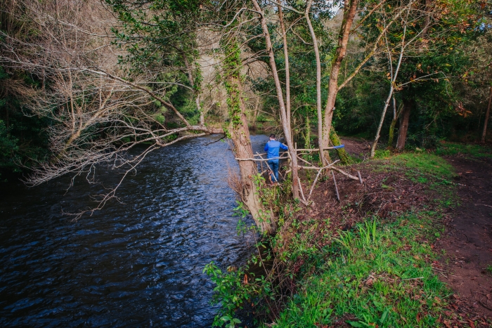
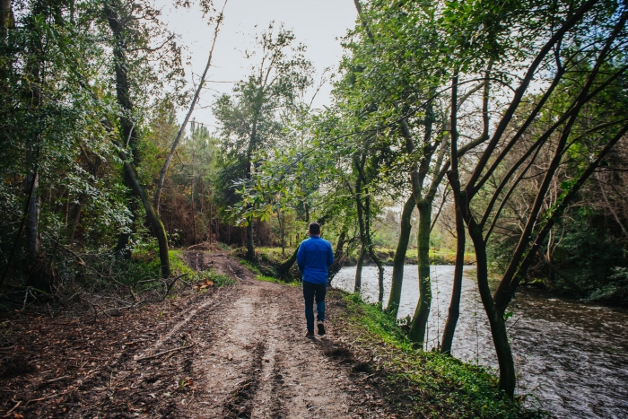
A pleasant walk through the riverside forest where we find several constructions linked to water such as dams, canals and mills.
We will know that the route is over when we find a waterfall at the height of Saímia where an interpretive panel with information about the place is located.

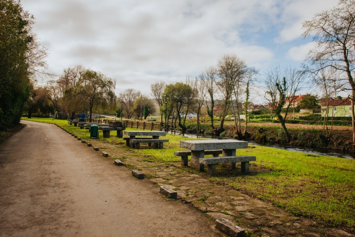
The recreational area is well equipped with benches, tables and grills and during the tour we can see several elements of “land art” that give color to the walk.

Access to the route in our wikiloc profile

Routes and hiking

Other routes on the Costa da Morte

Vierio Fidalgo Route. Vimianzo

Route: Circular Start/finish point: Church of San Pedro de Berdoias Length: 9 kms Approxima...

Ruta Meigha Lirea in Cee

The Ruta Meigha Lirea is a spectacular circular hiking trail located in the heart of Costa da Morte....

Megalithic Corridor Route

SPECIFICATIONS: Total kilometers: 41 kilometers. Access by vehicle: Pedra Cuberta, Arca da Piosa (By...

Route Sendas do Mar De Razo a Baldaio

Route: Linear Start/finish point: Porto de Razo. Praia de Baldaio Length: 5.5 km Approximate durati...

Water Route. Zas

Route: Circular Start/finish point: Ponte do Sisto (Zas) Length: 10 km. Approximate duration: 2.5 ho...

Route of the waterfalls. Mazaricos

The city council of Mazaricos makes a proposal of routes to visit five waterfalls in the surrounding...

Mount Pindus. Traces of history. Dumbría

Route: Linear Start/finish point: Aldea de Fieiro / A Moa Length: 4.00 km (one way) Approximate dura...

Esteiro do Anllóns Route

Route: Linear Start/finish point: Praia do Curro / Ensenada de Lodeiro Length: 3.5 km Approximate du...

Ruta da Insua (RC-1) – Camariñas

Route: circular Start/finish point: O Ariño Beach (Camariñas) Length: 3.5 km. Approximate duration (...

San Guillermo Route and Fisterra Lighthouse

Route: Linear Start/finish point: Port of Fisterra Length: 4.00 km (one way) Approximate duration (r...
Logo Cmat Color Fondo Transparente
Privacy Overview

This website uses cookies so that we can provide you with the best user experience possible. Cookie information is stored in your browser and performs functions such as recognising you when you return to our website and helping our team to understand which sections of the website you find most interesting and useful.