- Route: Linear
- Start/finish point: Aldea de Fieiro / A Moa
- Length: 4.00 km (one way)
- Approximate duration (round trip): 3 hours
- Difficulty: Medium
This is the easiest route to ascend to La Moa.
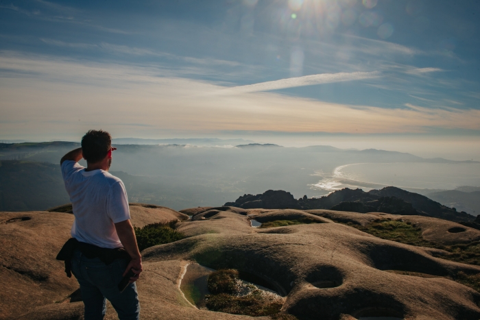
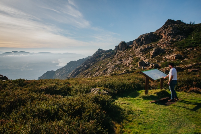
It runs at all times along the east face of the massif, so when you reach the top the view of the ocean is sudden and surprising.
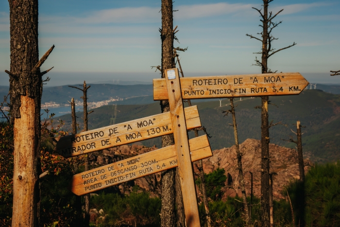
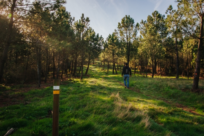
We start in the village of Fieiro and ascend along a forest track until we enter the mountain along cobbled paths.
Continuing the ascent you reach the “Alto das Cortes”, from where you can get a panoramic view of Carnota beach.
We continue and cross the remains of ancient walls and the area of pastures of wild horses already close to the top.
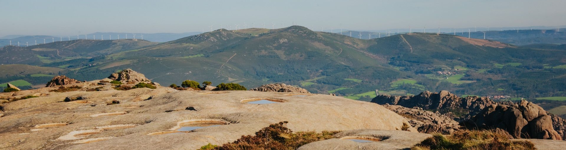
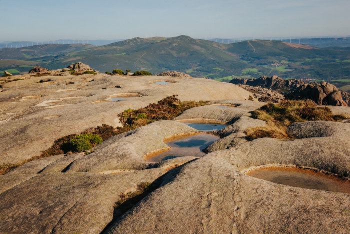
La Moa is the highest point of Mount Pindus, it is considered a remnant of the so-called Fundamental Surface of Galicia, which was formed about 60 million years ago.
This impressive cupuliform dome has about 200 pias.
To return to the starting point, we retrace our steps, always on the lookout for a possible slip.
Don’t let the beauty of the landscape make us lower our guard both on the road and on the sun protection and water reserves that we will need on the hottest days.
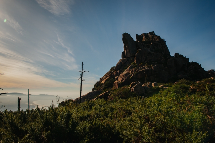
The Pindus is a mythical mountain with a lot of history, both ancient and contemporary.
Sadly devastated by fires, it was also a place where many neighbors survived hiding from repression during the dictatorship.
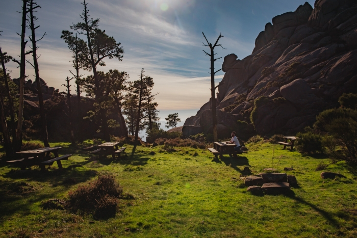
These stories can be told by the locals who are worth paying attention to and talking to.
Once the route is finished, we can continue at sea level, visiting the places of O Pino and Ézaro and approaching the place where the Xallas River cascades into the sea.
A unique phenomenon in all of continental Europe.
We must also go up to the viewpoint and enjoy the great views while remembering the tremendous effort that cyclists make to ascend tremendous slopes without fainting.
Access to the route in our wikiloc profile


