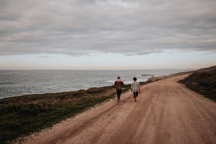
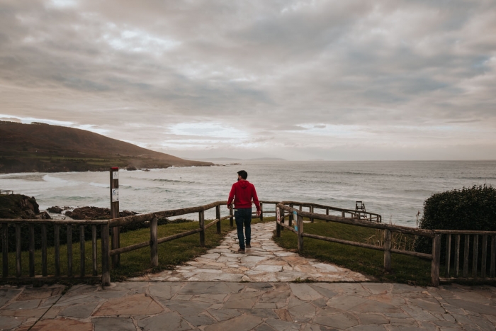
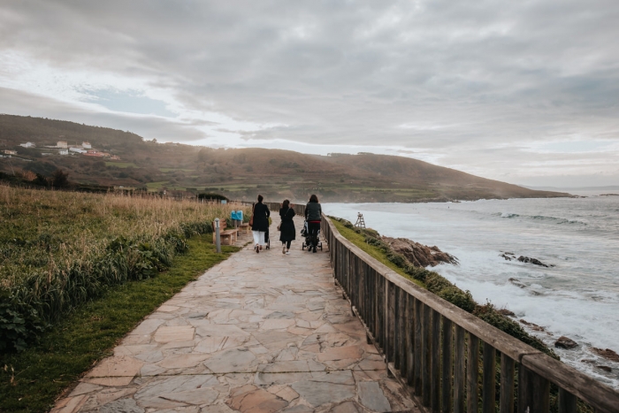
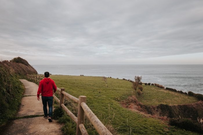
- Route: Linear
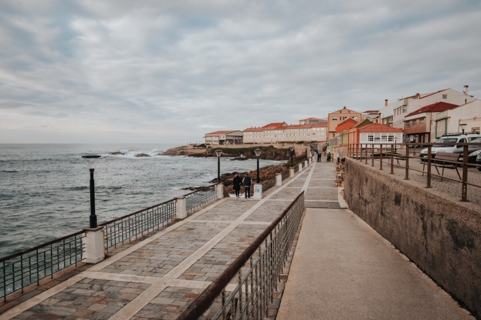
- Start/finish point: Plaza de Eduardo Vila Fano
- Length: 2 km
- Approximate duration (round trip): 45 minutes
- Difficulty: Easy
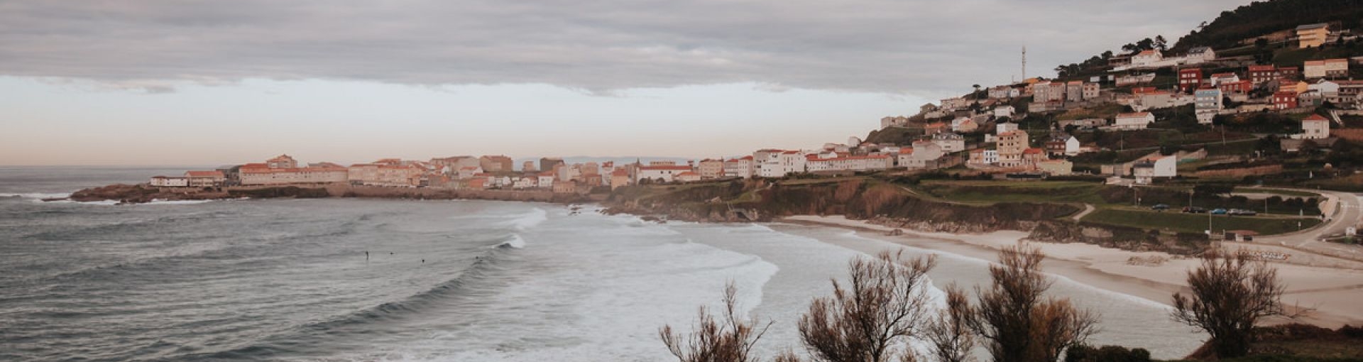
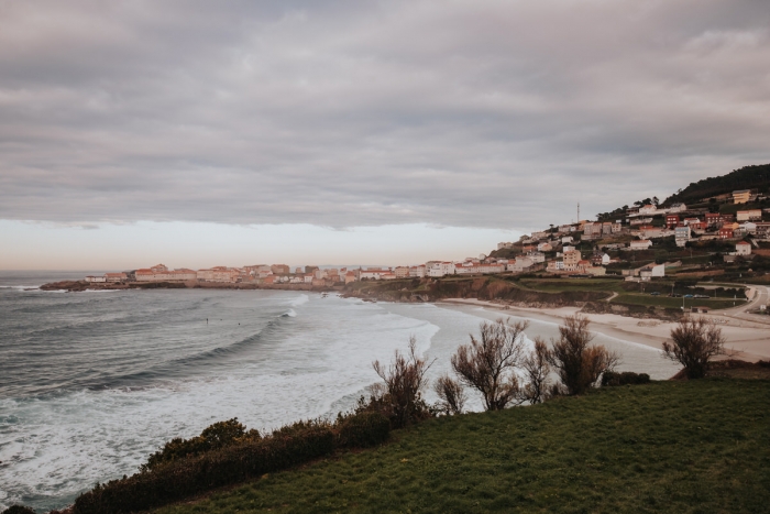
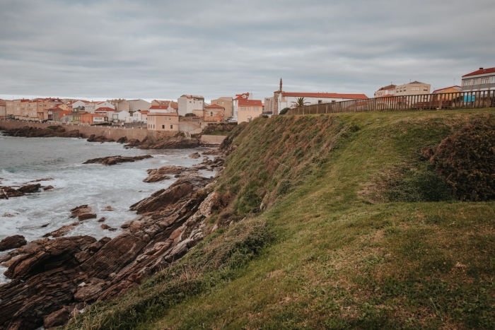
A small coastal route that starts from the centre of Caión in the Plaza de Eduardo Vila Fano bordering the beach to the Figueirido stream to enter the territory of the municipality of Carballo.
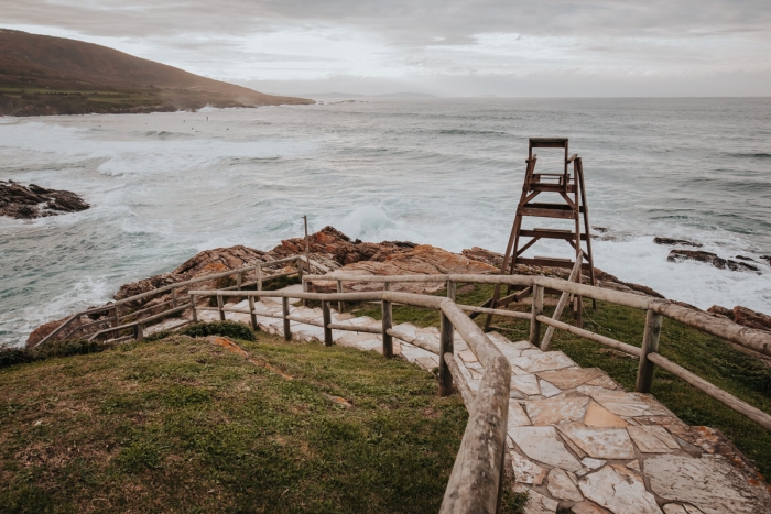
Just two kilometers where we can see in the distance the town of Málpica and observe the maneuvers of the many surfers who are looking for the waves in Salseiras every day.
A route that has been distinguished as “Blue Path” and that, if we continue walking, extends west to the vicinity of the beach and lagoon of Baldaio.
Once in Caión we must know that it is the only exit to the sea in the municipality of A Laracha.
The origin of this nucleus dates back to the Middle Ages with settlements of people dedicated to fishing.
In the mid-sixteenth century, Basque sailors arrived in this enclave to work in whaling.
Until the early eighteenth century, Basque whalers and Caionese hunted Basque whales (Eubalaena glacialis) on this coast.
At present, the only reference to this past that is preserved is found in the coat of arms of the municipality.
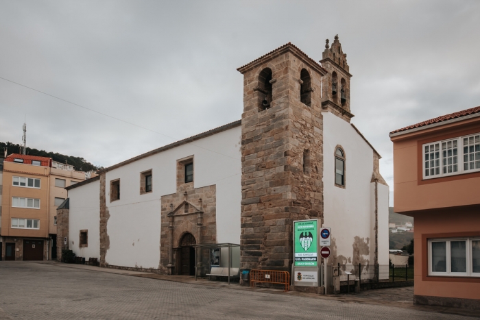
Before or after the walk we can visit the port, the fish market, the pazo de los Condes de Graxal, the parish church of Santa María do Socorro, the sanctuary of Miracles or the Fishing Archive.
After the visit to Caión we can enter the interior of the municipality of A Laracha or continue along the coast in a westerly direction to enter fully into A Costa da Morte.


 1")


