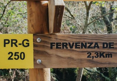
- Route: Linear
- Start/finish point: Port of Fisterra
- Length: 4.00 km (one way)
- Approximate duration (round trip): 2 hours
- Difficulty: Medium
The Fisterra Lighthouse, the end of the world, is the end point of many routes and pilgrimages.
This route is destined for one of the most emblematic places in A Costa da Morte and Galicia.
It is a short route, but you have to take into account the steep uphill sections from the moment we leave Fisterra to the top of the mountain.
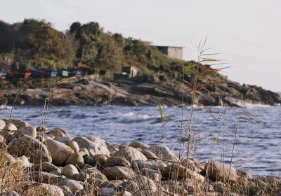
Part of the port bordering the coastline in the direction of the Castle of San Carlos, a fortification of the s.
XVIII, continuing later to the Church of Santa Maria das Areas.
After visiting this church, the ascent to Monte San Guillermo begins, taking a detour on the right, about 100 m away.
of the church.
Follow the ascent along forest roads, where the main detours are signposted.
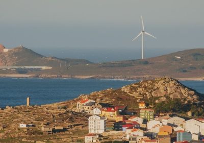
We arrive at Monte San Guillermo, from which you can see one of the most beautiful panoramic views of the Villa de Fisterra and its seas.
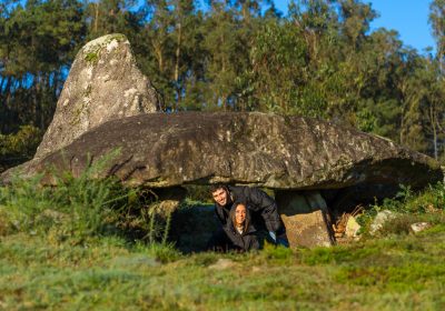
It is said that the Ara Solis, a pre-Roman temple with a marked and deep cult of the Sun, was located in this place.
We are at one of the most emblematic points of the Camino de Santiago.
We continue the ascent until we find the asphalt track that goes up to Monte Facho.
At the end of this track, we continue along another dirt track that takes us to the Piedras Santas, where we can see another spectacular panoramic view of Fisterra and its isthmus.
When we start the descent we will gradually approach the Lighthouse and the end point of our route.
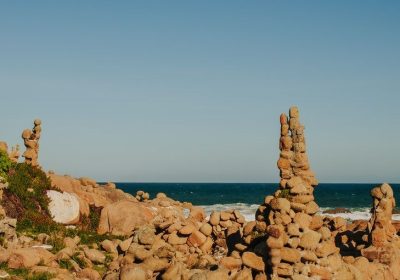
In this place we can enjoy its spectacular sunset and catch the bustle of the many pilgrims and excursions that crowd the vicinity of the lighthouse and the nearby cliffs.
At this point we can also find the walkers who culminate the Camino de los Faros, in the last stage of Nemiña beach.
The fastest way to return is to descend the slope of the track that connects Fisterra with the Lighthouse where we can use the pedestrian path that separates walkers from cars and allows the walk to be done safely.
We can complete the day in Fisterra enjoying the gastronomy where seafood stands out and even take a tour on one of the tourist boats that leave the port.
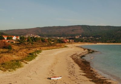
Another proposal is to enjoy a beach session on the nearby sandy area of Langosteira where we can observe the passage of the pilgrims calmly installed on the sand.
Access to the route in our wikiloc profile

