- Route: Linear
- Start/finish point: Eduardo Pondal’s birthplace / Puerto de Corme
- Length: 11.1 km
- Approximate duration (round trip): 6 hours
- Difficulty: Moderate
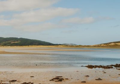
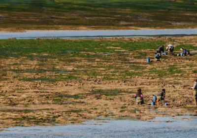
This hiking route starts in the centre of Ponteceso just in front of the birthplace of the poet Eduardo Pondal, following the mouth of the Anllóns river along the river promenade and along the O Couto boardwalk to the cove of A Insua.
A first section walking in the middle of the estuary, a place of high ecological value declared a Special Protection Area for Birds (SPA) and SCI (Site of Community Importance) of the Natura 2000 Network.
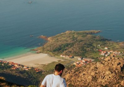
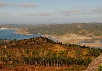
At the end of the walkways of the boardwalk we can continue along the cove, where we will find an ornithological observatory almost in front of the island of Os Cagallóns or choose an alternative path to the summit of Monte Blanco and enjoy its wide views over the estuary and the ocean.
If we decide to take the round trip, the climb to the mountain can be a good option for the return.
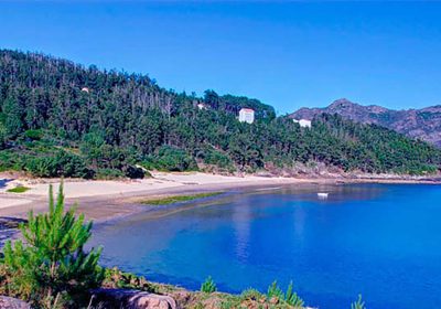
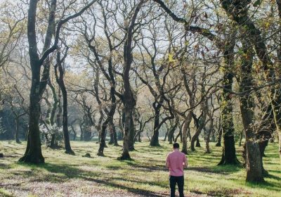
On Balarés beach we find a large recreational area in the shade of a leafy pine forest.
An ideal place to rest and, if you take the tour in summer, let yourself be surprised by the lively atmosphere of its beach bar.
This beach was formerly home to a titanium mine and was the exit point for tungsten from nearby Mount Neme.
The route continues to A Ermida beach passing by the monument known as Pedra da Serpe.
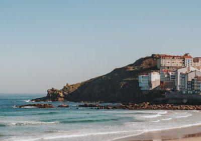
We skirt the beaches of Osmo and A Arnela to the town of Corme where you can perceive its seafaring atmosphere and find multiple references to its star product: the barnacle.
Although we are at the end of the route and can start the way back to Pontedeume, we have the alternative of making a last effort along the sea to Cape Roncudo.
An emblematic place in A Costa da Morte to see where the most famous barnacles grow and see the danger of the barnacle trade.
A spectacular image of these men, and some women, of the sea defying the elements.
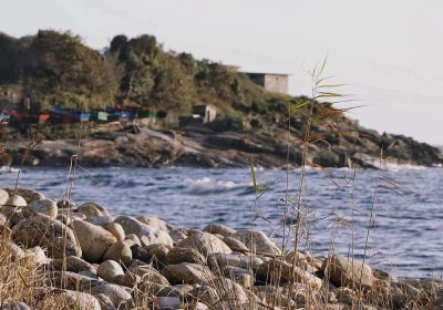
As a complement, and to finish discovering more places in Ponteceso, we can continue exploring its coast to the north: the cove of A Barda, the port of Santa Mariña with its fishermen’s huts, the beach of Niñóns and Mount Faro.
In this place, next to the chapel of the Virgin of the same name, there is a monument to the Sacred Heart of Jesus of 39 m.
high with an interior staircase of 133 steps.
Once at the top we will enjoy a highlight of our visit to Ponteceso with spectacular views from a surprising place.
