- Route: Linear
- Start/finish point: Porto de Razo.
Praia de Baldaio - Length: 5.5 km
- Approximate duration (round trip): 2.40 hours
- Difficulty: Easy
Carballo offers us the contrast that will accompany us throughout our stay in A Costa da Morte, from the interior of the rivers and lush and green forests, we pass to a hard and windy coast.
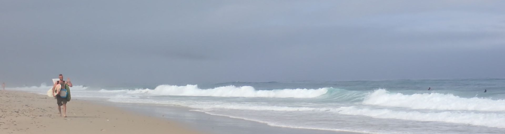
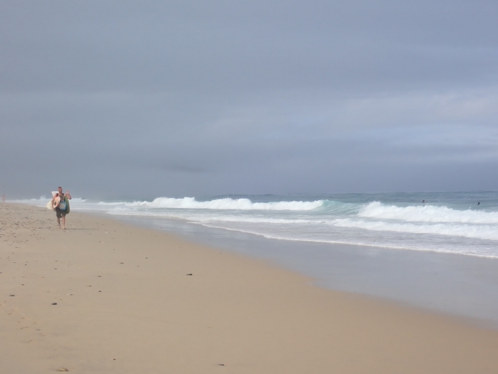
But there is nothing like getting to the sandy beach that makes up the coast between Razo and Baldaio to get an idea of what a huge and wild beach is.
We are in front of one of the surfers’ paradises in Galicia.
Traveling the almost six kilometers that take us from Razo to Baldaio will be an undertaking that we will have to undertake calmly, because walking on the fine sand is quite tiring.
But the women of the area will assure us that there is nothing healthier than “andar á salseira”, which is what many residents of the area do throughout the year.
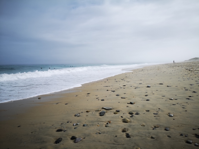
We will be able to see how on any day of the year dozens of couples and people who enjoy themselves on a sandy beach in front of the immensity of the ocean.
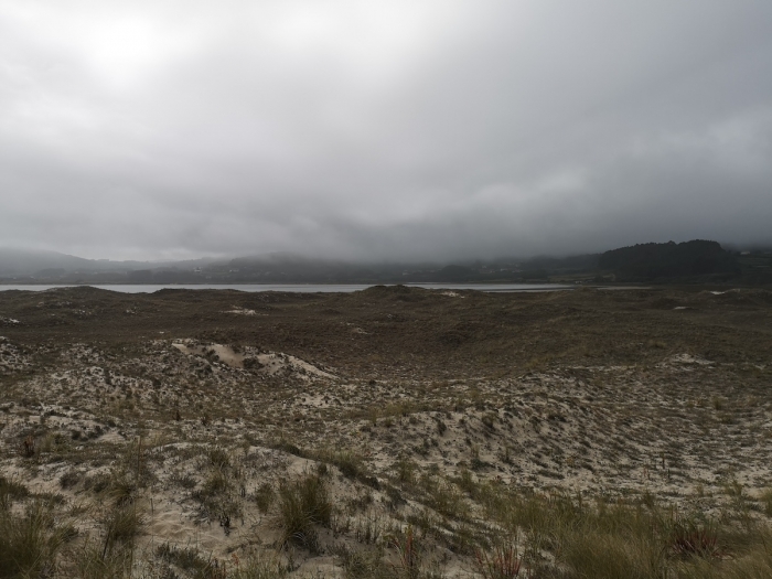
Our steps take us to the Baldaio lagoon, which is hidden behind us by the dunes that rise above the beach.
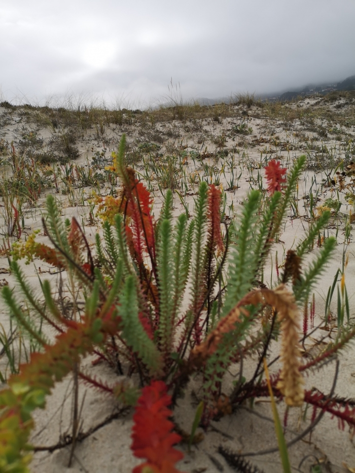
This will be our way back, enjoying the almost lunar views offered by the dunes, their vegetation and the marsh lagoon, which make up a natural area of community interest and an area of special protection for birds.
Once the route is finished, we can decide between continuing along the trails and coves that will take us to Caión or staying in the Razo area, where we will rest and enjoy some of the restaurants in the area, especially busy in summer, when the beach is filled with surfers but also with tourists who come to enjoy a rough sea that hides the very essence of A Costa da Morte.
A place with many options for activities and discovery of natural phenomena such as fossil beaches, marshes, bird watching and dunes.
Visitors have a self-guided tour with QR codes as well as numerous information panels that facilitate the interpretation of the place, enriching the visit.
A place of reference for surfing where we can spend a full day at the beach combined with the discovery of a fascinating natural space.
Access to the route in our wikiloc profile


