- Route: Linear
- Start/finish point: Church of Pindo – A Moa
- Length: 4.00 km (one way)
- Approximate duration (round trip): 3 hours
- Difficulty: Medium
Another alternative to climb to the top of Mount Pindus with access to sea level next to the square of the Pindus church.
Shortly after starting we found numerous water mills and a cave in which the fugitives of the Civil War took refuge.
As we ascend we pass by the Castle of San Xurxo and continue to El Pedrullo, where you can still see the remains of the walls that formerly surrounded the primitive construction.
After walking a short distance we arrive at the “Chan de Lourenzo”, an open space where the Chan de Lourenzo Giant and what remains of a tungsten farm are located.
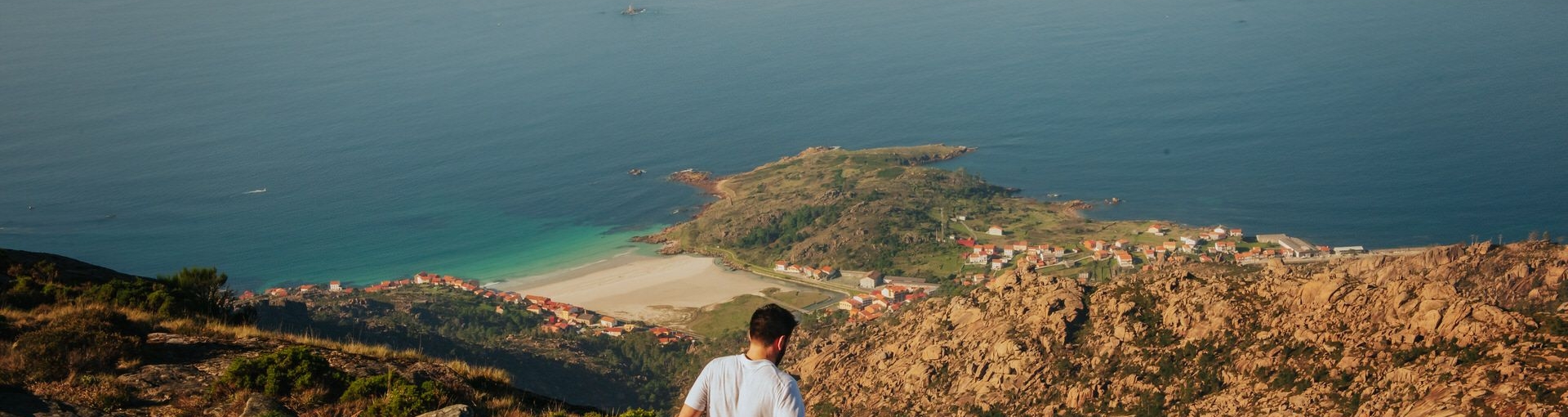
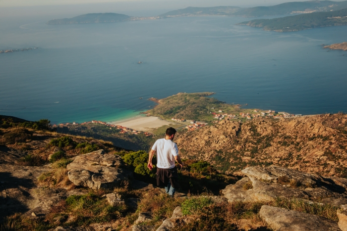
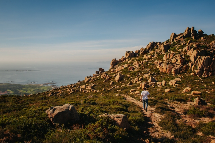
From this place we can see the summit of La Moa and continue ascending to the top.
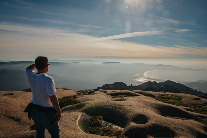
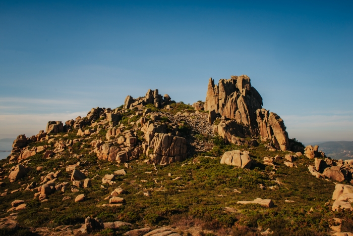
A hard climb but worth it for the view of the landscape that we can contemplate and the feeling of being in a magical place.
On this route we will discover the surprising shapes adopted by the rocks and the power of a landscape of great value despite the notable ravages of fires.
Near the summit it is worth stopping at the beautiful rest area with wooden tables.
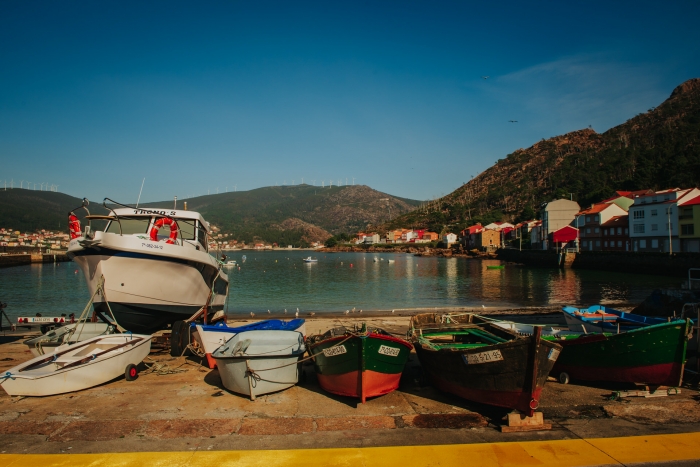
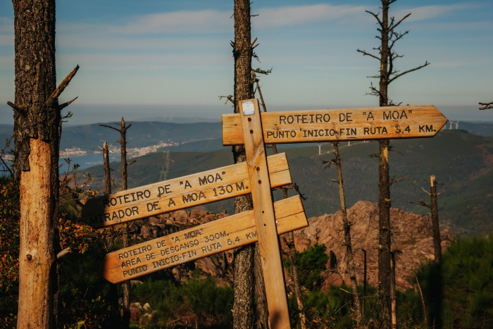
A perfectly signposted route that we can culminate with a swim in the beach of San Pedro once we descend to sea level.
We can complement the day by visiting another of the landmarks of the place: The Ézaro Waterfall, the only river in continental Europe that flows into the sea with a waterfall.
This is a very visited place, especially in the summer months, where you can enjoy the audiovisual show of the Ézaro Waterfall.
A unique show, a magical combination of water, stone, vegetation, lights, colours and music…
Another emblematic place is the Ézaro viewpoint, where we find heart-stopping views that have become very popular in recent years for being the end of the stage of the Vuelta Ciclista a España.
Access to the route in our wikiloc profile


 1")
