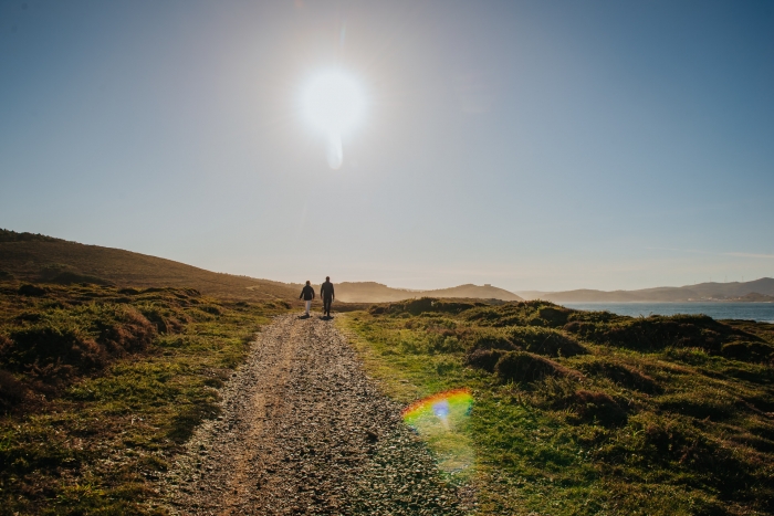
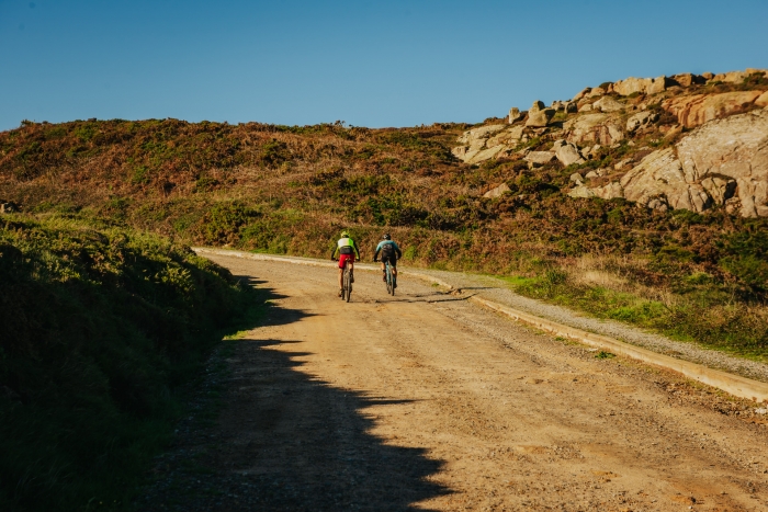
- Route: linear
- Start/finish point: Camelle (Camariñas)-Castillo del Soberano (Camariñas)
- Length: 22 km.
- Approximate duration (round trip): 5 hours
- Difficulty: Medium
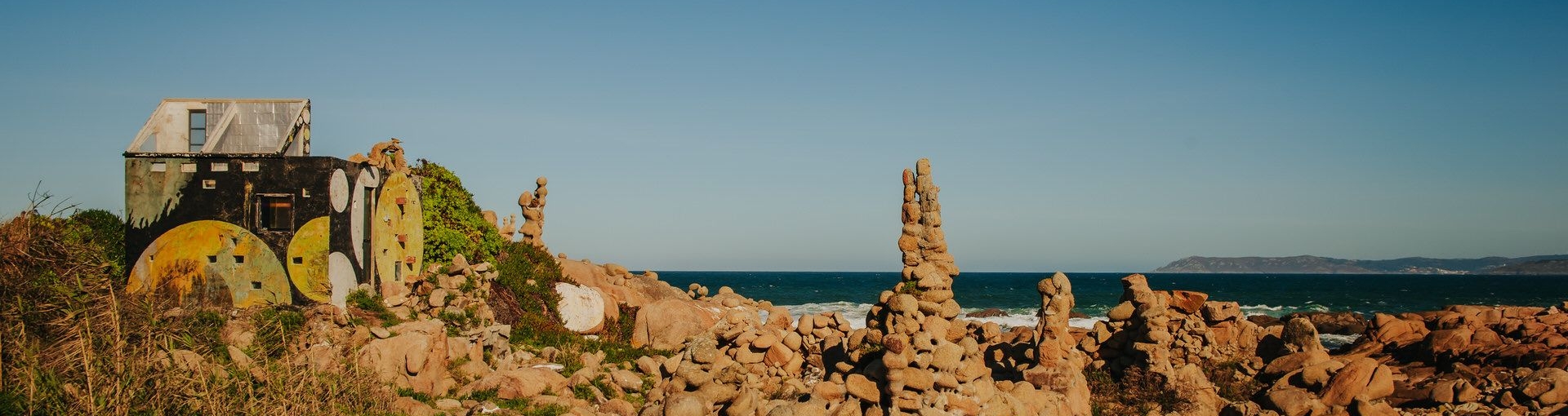
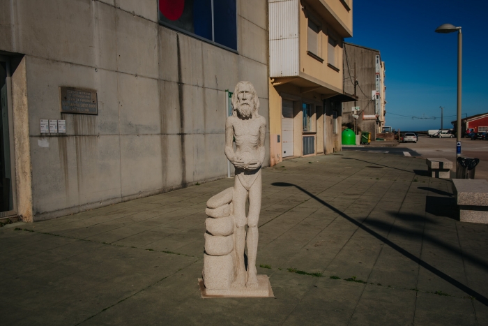
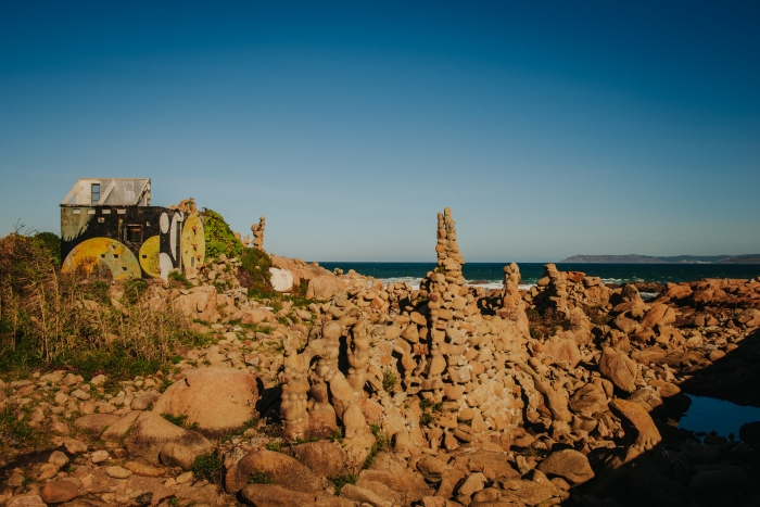
The route starts in Camelle, at the Museum of Man and Garden of Man.
It is the name of the Museum of Manfred Gnädinger, better known as “Man”, an artist whose work is considered by many to be the greatest exponent of Land-Art.
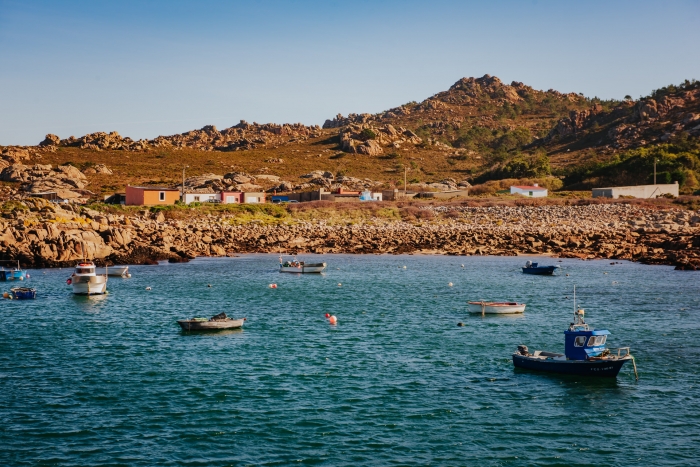
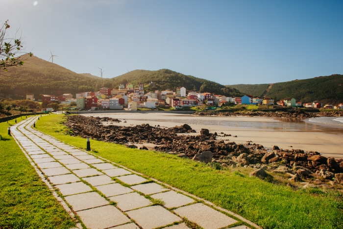
After visiting the museum, we start the route to Arou, a town with a beautiful beach and port.
We start the road again to another place, Puerto de Santa Mariña where we will discover traditional fishing gear.
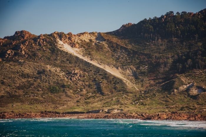
After visiting the port, we continue the route leaving behind us the Monte Blanco dune, unique in Europe for its rampant character of 204 meters high (the highest in Europe).
We arrive at the beach of Trece, a virgin beach with the largest colony of caramiñas in Galicia.
We must make an obligatory stop on the way to see the panoramic views of Thirteen and Monte Blanco.
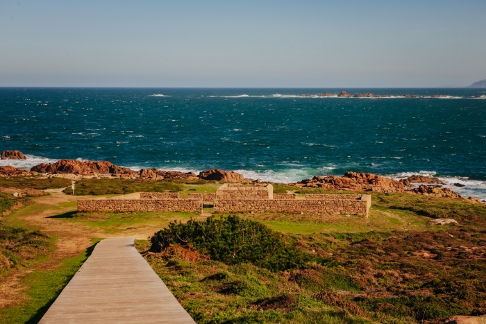
From here we reach an emblematic and famous point of this route, the Cemetery of the English.
The sailors who died in the shipwreck of the English ship The Serpent in 1890 are buried there.
This cemetery is included in the European Union’s Cultural Route of Unique Cemeteries.
Along this path we will also enjoy archaeological remains such as the stop at the mámoa de Reira and other natural sculptures such as the Stone of the Bear.
We will also leave on the way the den of the wolves, a construction whose purpose was to hunt these animals.
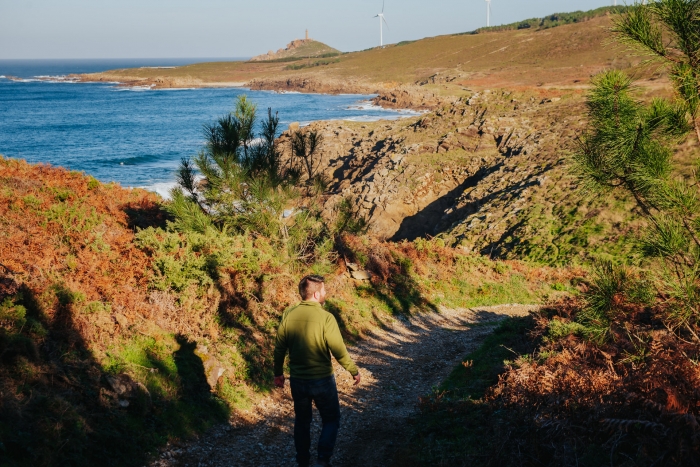
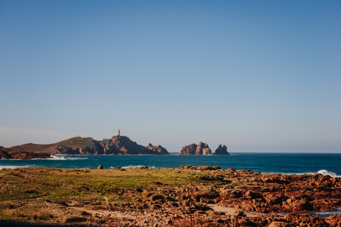
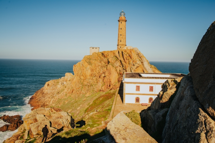
We recommend deviating from the main road for 1 kilometre to reach Cabo Vilán and the mythical Vilán Lighthouse, inaugurated in 1896, and the first electric lighthouse in Europe.
In addition, it is home to the A Costa da Morte Shipwreck and Maritime Signals Interpretation Centre.
Very close to Cabo Vilán, we find the so-called “Vilán de Fora and Furna dos Infernos”.
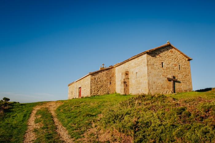
Vilán de Fora is an islet declared a Special Protection Area for Birds, as it is home to protected species that are in danger of extinction in Europe such as the tridactyla gull (rissa tridactyla) and the common guillemot (uria aalge) from Spain. We start the route again and it is necessary to deviate about 500 meters to visit the hermitage of the Virgen del Monte, located in an enclave with spectacular views of part of the Camariñas estuary and Muxía.
On the final stretch of the route we pass by the beach of Lago, to reach the Castillo del Soberano in Camariñas, an eighteenth-century castle of which currently only the foundations and part of the walls remain.
We must not forget to complete the route with a visit to the most important textile crafts in Galicia, the Camariñas lace.
Another recommended visit is found in the Museum of the Canning.
The “Conservería de 1884” is the first museum space of the canning industry in Galicia with a permanent exhibition within the Cerdeimar Industries complex.
In short, a route that combines the spectacular landscape of A Costa da Morte, with the natural, cultural and gastronomic richness of this destination.
In addition, it coincides with the route of stage 5 of the Camiño dos Faros that connects Arou with Camariñas.
Access to the route in our wikiloc profile


 1")


