- Route: Linear
- Start/Finish Point: Eduardo Pondal Birthplace
- Length: 2.5 km
- Approximate duration (round trip): 1.5 hours
- Difficulty: Easy
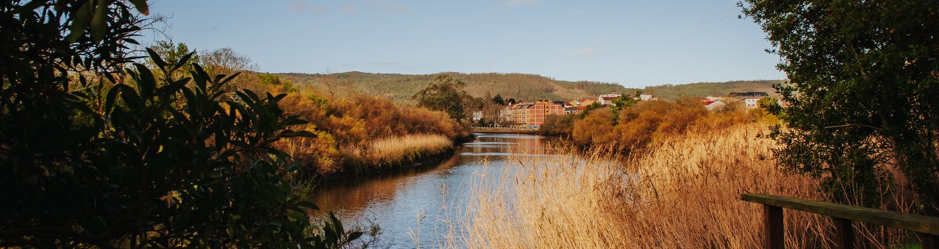
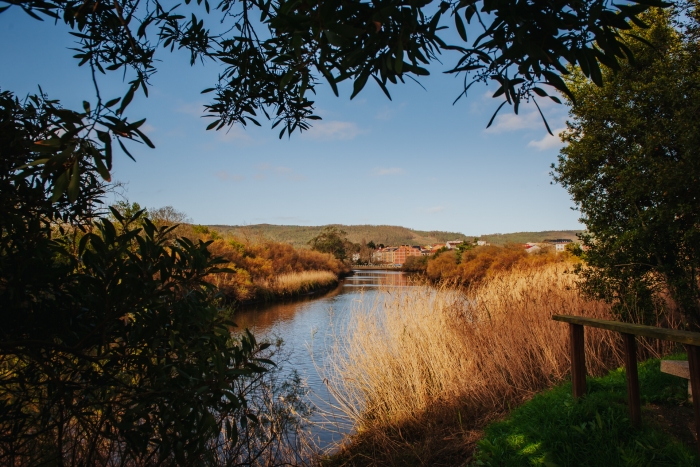
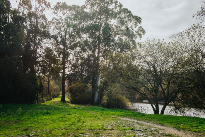
The arrival of the Anllóns River at the sea draws one of the most spectacular images that we can find in A Costa da Morte.
Contrary to the image that we have most in our heads and that associates this territory with large cliffs and the sea beating against them, we have in front of us a calm estuary that pours its waters into the sea creating a territory of enormous landscape and environmental richness that we have the obligation to keep intact.
We start our tour from the birthplace of Eduardo Pondal, in front of which we find the bridge that divides the municipalities of Ponteceso and Cabana, and which would be the subject of some of the poet’s verses.
It is one of the many bridges/borders that we will find throughout this territory and that will serve us both to avoid the river and also to change town halls.
Bridges with a lot of history such as Lubiáns, Brandomil or Ponte do Porto.
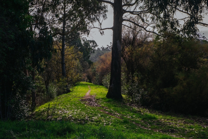
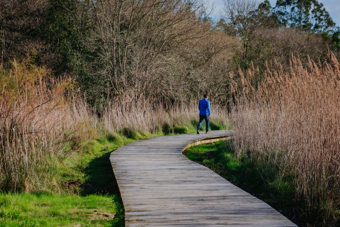
Returning to the route in Ponteceso, from there a path starts that will take us to the Malecón do Couto, with wooden walkways perfectly integrated into the environment that allow us to walk through a Special Protection Area for birds.
The path is delimited by plant elements that make our intrusion more respectful and help us not to interrupt the life of the waterfowl that have their territory here.
If we continue the path at the end of the footbridges we will find ourselves at the foot of Monte Branco.
At this point we can start the ascent by continuing along the PRG – 148 path to the Corme pass.
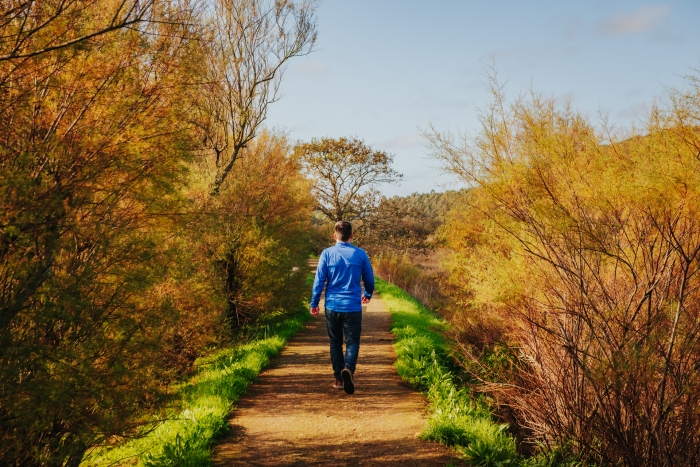
But this time we retrace our steps towards the starting point to continue up the Anllóns for about a kilometre to the end of the road.
A short, accessible and completely flat route in a very particular environment that changes every minute due to the influence of the tides.
Access to the route in our wikiloc profile

 1")


