Route from Corcubión to Cee lighthouse

Corcubión

Find out more about Route from Corcubión to Cee lighthouse

  • Route: Linear
  • Start/finish point: Villa de Corcubión
  • Length: 3.83 km (one way)
  • Approximate duration (round trip): 2 hours
  • Difficulty: Easy

A simple route that combines a walk through the town of Corcubión discovering its history and architecture with a stretch of coastal walk contemplating the sea and the landscape of the Costa da Morte.

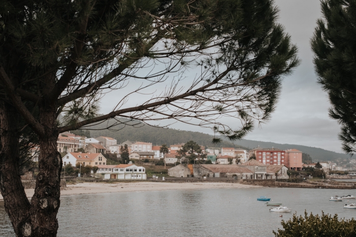
We locate the start of the route in the center of Corcubión to skirt the port and continue to Quenxe beach.
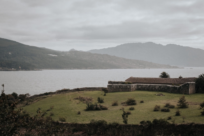
From the beach we link a section of the CP-2801 bordering the sea and we see the Castillo del Cardenal.
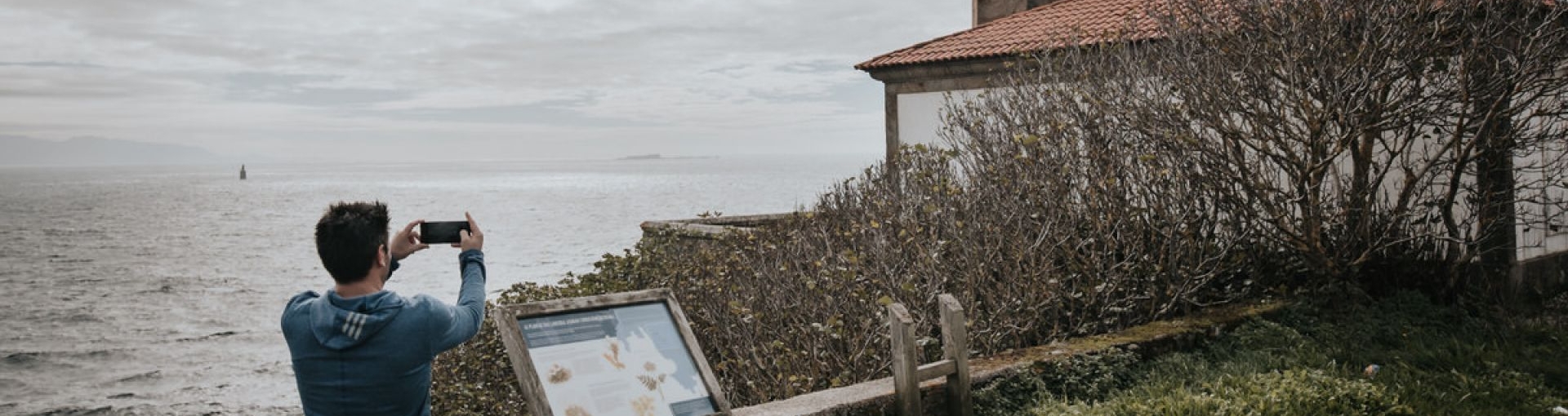
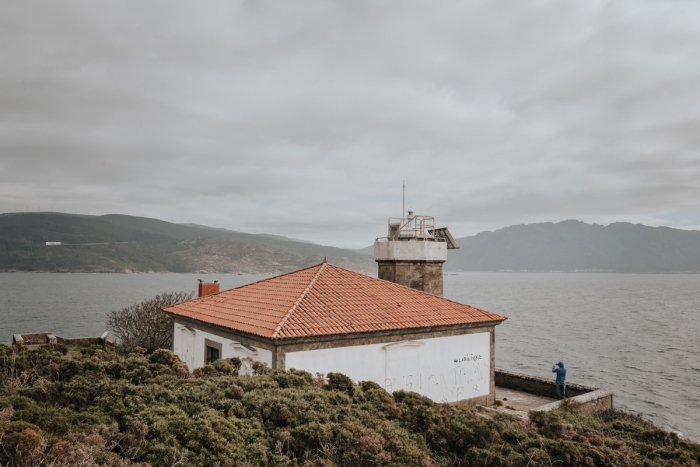
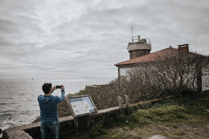
We continue the route until a crossroads where we leave on the left in the direction of the “Nuevo Cubeleiro” football field and the Cabo Cee lighthouse.
From the lighthouse we can see the mythical Cape of Fisterra.

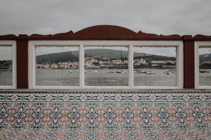
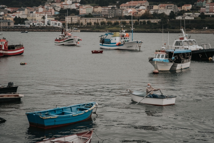
Scenic route that complements the visit to Corcubión where we recommend walking along the promenade photographing its colorful benches as well as observing the activity of the fishing port.

From the tourist office they can tell us the most outstanding places that we will discover strolling through the town.
The Altamira manor house, the church of São Marcos, the Casa Miñones, the Casa dos Teixeira or the chapel of São Antonio are must-sees.

Curcubión is a place of passage on the Camino de Santiago de Fisterra so it is possible that we will meet pilgrims who, in a group or alone, enrich the landscape with their backpacks or bicycles.

Access to the route in our wikiloc profile

Routes and hiking

Other routes on the Costa da Morte

Caión Promenade

Route: Linear Start/finish point: Plaza de Eduardo Vila Fano Length: 2 km Approximate duration (roun...

Carnota Open Museum

Route: Linear Start/finish point: Rieiro – Miñarzo (Carnota) Length: 13 km (one way) Approximate dur...

Route through A Ameixenda

The Route through A Ameixenda is a scenic circular hiking route that blends mountain and sea, ideal ...

PR-G 70 Punta Insua. Laxe

Route: Circular Start/finish point: Laxe Length: 4.6 km. Approximate duration (round trip): 2 h. D...

PR-G 114 Laxe – Lock

Route: Linear Start/finish point: Laxe – Mórdomo (Traba) Length: 8.7 km. Approximate duration (one w...

Route of the pines in the sea. Malpica

Route: Linear Start/finish point: As Neves Chapel or Santo Antón-Praia As Torradas Length: 12 km (on...

Route Sendas do Mar De Razo a Baldaio

Route: Linear Start/finish point: Porto de Razo. Praia de Baldaio Length: 5.5 km Approximate durati...

Route through A Armada

The Route through A Armada is a short but powerful path that overlaps with the entrance of the Camin...

Camariñas Coastal Blue Trail (RC-2)

Route: linear Start/finish point: Camelle (Camariñas)-Castillo del Soberano (Camariñas) Length: 22 k...

Muxía – Monte Facho Route

Route: Linear Start/finish point: Port of Muxía/ Monte Facho viewpoint Length: 11.4 km (round trip) ...
Logo Cmat Color Fondo Transparente
Privacy Overview

This website uses cookies so that we can provide you with the best user experience possible. Cookie information is stored in your browser and performs functions such as recognising you when you return to our website and helping our team to understand which sections of the website you find most interesting and useful.