- Route: Circular
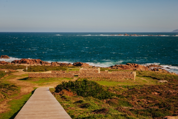
- Start/finish point: Ruins of the Castle of O Soberano (Camariñas)
- Length: 22.5 km.
- Approximate duration (round trip): 7 hours
- Difficulty: Medium-high
The PR-G 158 trail allows us to enjoy one of the most privileged landscapes of the Galician coast, in the heart of A Costa da Morte.
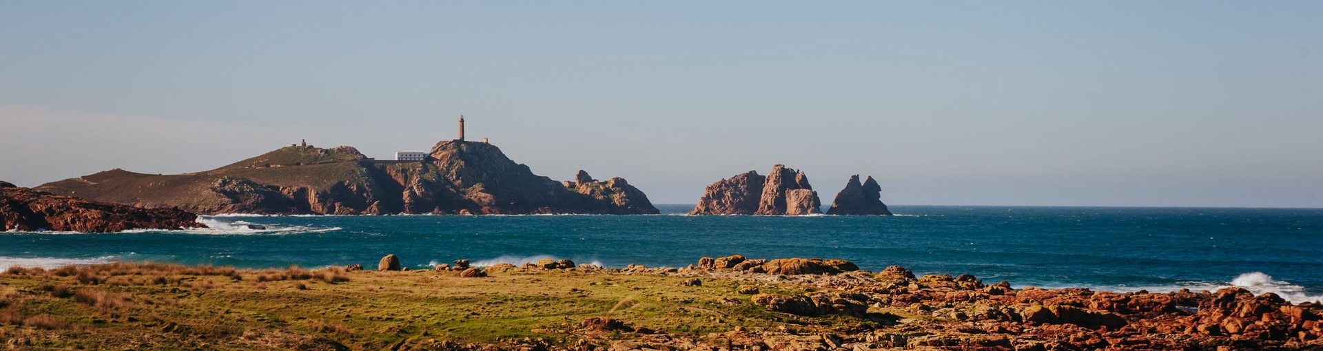
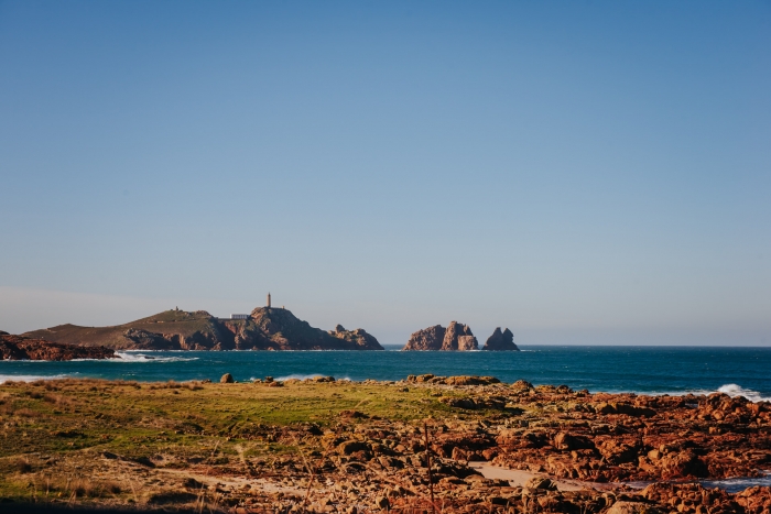
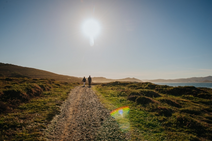
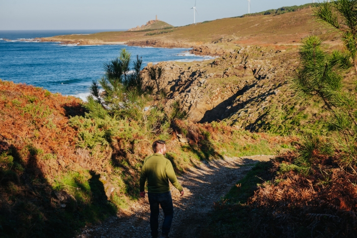
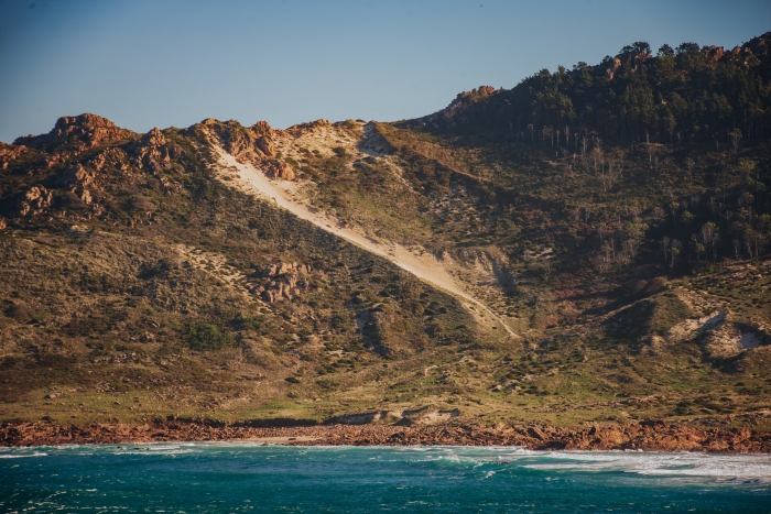
In the first half of the route we will pass through inlets, cliffs and beaches, observing on this journey the force of the ocean with the Cabo Vilán Lighthouse always present. The second half will run through the mountains, enjoying the views of the Ría de Camariñas.
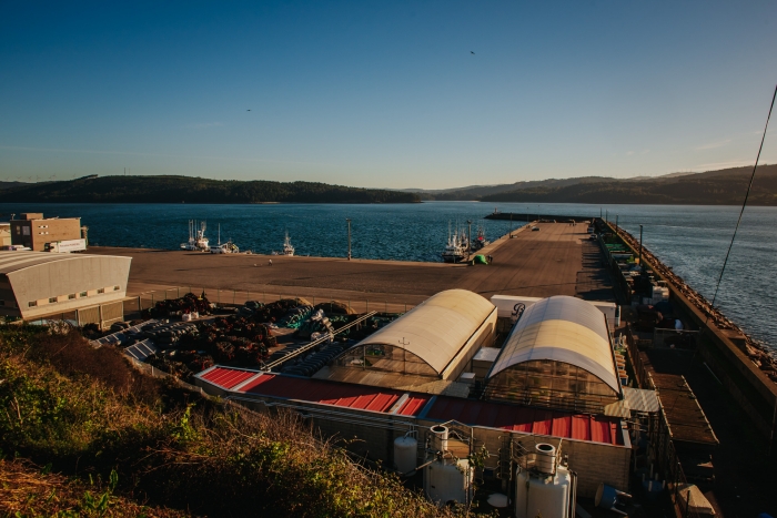
The route begins in Camariñas, a municipality known for the famous Bobbin Lace. The scope of this craft is such that at Easter the International Fair of Tourist Interest “Mostra de Encaixe de Camariñas” is held, with fashion shows and an exhibition of this type of craftsmanship.
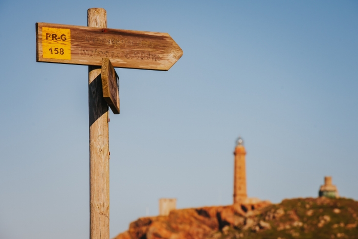
The exact starting point is the remains of the Castillo del Soberano, a military and defensive fort dating from the eighteenth century and built in honour of Charles III. Its objective was to defend the town from pirates and invading peoples. In this place we find a panel with detailed information about the route.
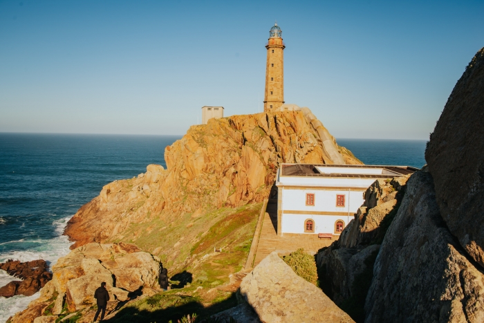
We always continue parallel to the sea, although we recommend taking a detour to the chapel of the Virgen del Monte. It is worth making this small detour on the route to contemplate the spectacular views of the estuary and Muxía. Returning to the path again, we arrive at Lago beach, around which there is a protected area within the Costa da Morte Natura 2000 Network, in Camariñas. Our next stop is the mythical Vilán Lighthouse, inaugurated in 1896, and the first electric lighthouse in Europe. In addition, it is home to the A Costa da Morte Shipwreck and Maritime Signals Interpretation Centre.
Very close to Cabo Vilán, we find the so-called “Vilán de Fora and Furna dos Infernos”. Vilán de Fora is an islet declared a Special Protection Area for Birds, as it is home to protected species that are in danger of extinction in Europe such as the tridactyla gull (rissa tridactyla) and the common guillemot (uria aalge) from Spain.
Along this path we will also enjoy archaeological remains such as the stop at the mámoa de Reira and other natural sculptures such as the Stone of the Bear or the Stone of the Lovers of Reira.
And from here we arrive at an emblematic and famous point of this route, the Cemetery of the English. The sailors who died in the shipwreck of the English ship The Serpent in 1890 are buried there. This cemetery is included in the European Union’s Cultural Route of Unique Cemeteries.
Before entering the final stretch of the route we stop at Playa de Trece, a beautiful beach with large dune formations, and from there we continue to Monte Blanco, also a climbing dune, a unique example of the entire north of the peninsula.
We make a last stop at the As Seixas viewpoint, rediscovering the views of the Vilán Lighthouse and the Camariñas estuary.
We finally return to the starting point, the Castle of the Sovereign and the town of Camariñas.
A scenic route where you can enjoy the beauty of the sea and get to know the tragic face of A Costa da Morte through the shipwrecks.
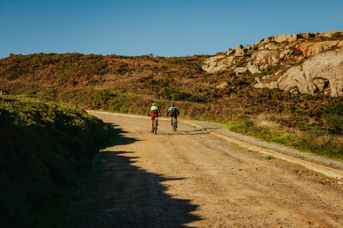
The coastal section is part of the itinerary of the two lighthouses route so it is possible that we will meet other walkers who make the walk in the opposite direction.
Access to the route in our wikiloc profile


