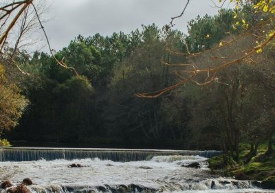
The city council of Mazaricos makes a proposal of routes to visit five waterfalls in the surroundings of which they have done an outstanding job to enable access and facilitate the visit and enjoyment of these spectacular waterfalls.
This route is based on a fundamental element of the idiosyncrasy of Mazaricos, water.
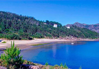
The water of the reservoirs, the sea water that we can see from the top of the mountains of La Ruña and above all the water of the rivers that end in spectacular waterfalls.
These waterfalls make up the route that we propose and that we will identify with the carved wooden posts that we find in the vicinity of each one.
The route begins with the road to the first waterfall, Vioxo-Chacín.
During the months of greatest flow it has a spectacular fall, of 10 meters, thanks to the water that comes from the Rego do Casteliño.
The perception of aromas, colors and natural elements is intense and difficult to describe.
The second stop is at the Santa Locaia waterfall, which takes its name from the hermitage located a few meters away.
An absolutely unique corner known by the locals as “O Pozo das Campanas”, a name that hides a beautiful legend.
They say that some assailants came to the chapel of Santa Locaia with the intention of stealing its bell, which they did.
In their flight through the gloomy and rugged oak grove they tried to cross the river “Vao de Denonciña” jumping to the other bank with the bell on their backs, but because of the thick moss that covered everything they slipped and it fell into the water.
This fall miraculously caused the tremendous collapse of the land that gave rise to this beautiful environment in which the strength of the native vegetation, the powerful power of the waterfall and the mystery of the underground water that flows from the hole, the “burato”, which gives it its name, merge.
The third waterfall on this route is the Gosolfre waterfall, with a more complex and difficult walking route, so we will need more time.
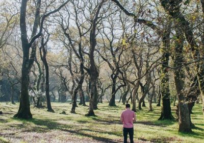
In this environment, we find a steep slope covered with lush and lush native vegetation where oaks are the main species.
In the middle of this plant spectacle we find, with a steep fall, the Gosolfre Waterfall.
A waterfall that we can contemplate from two angles, both at the top where a small stream rushes down the slope creating the waterfall, and at the lowest point where it breaks and the water recovers its horizontality.
From there, we must move to the Noveira waterfall.
This waterfall is spectacular, since in addition to the essential intervention of the water, the stone plays a great role.
A stone in slow but continuous transformation due to the powerful currents that are sculpting it.
The “pools” that appear are ideal for bathing in summer, when the flow of the river is lower.
The last waterfall on this route is Fírvado, where the union of two rivers surrounded by vegetation makes a true paradise of waterfalls and wells.
Wells such as the so-called “Pozo Negro” where, according to legend, on the day of San Juan, before dawn, a large “grand” of gold, emerges from its depths.
A place where we can take photos to show off on social networks both on the original bench and on the wooden walkways.
This is a proposal to get to know the river landscapes of the interior of A Costa da Morte together with the enjoyment of its gastronomy: octopus á feira, grilled scallops, T-bone steak, meat on the stone or cod, which are some of the dishes on the menu of the restaurants of Mazaricos.
To find out the details of the different access routes to the waterfalls we can consult the website of the town hall of Mazaricos. http://www.mazaricos.gal/turismo/ruta-fervenzas/

