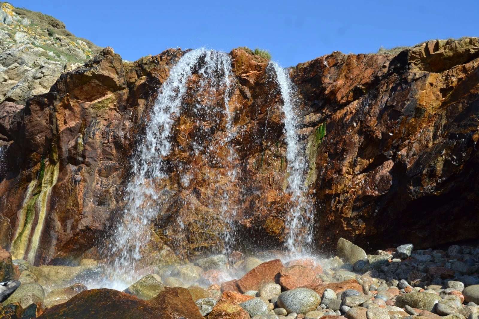
The Ruta Meigha Lirea is a spectacular circular hiking trail located in the heart of Costa da Morte. With an approximate distance of 10.2 kilometers and an estimated duration of 3 hours and 40 minutes, this route is ideal for nature lovers seeking to disconnect in a peaceful and uncrowded setting. Along the way, hikers enjoy a unique combination of mountainous landscapes and ocean views, making it one of the most recommended hiking trails in the area.
The route is divided into two distinct sections: the first, of low difficulty, follows mountain paths and partially overlaps with the fifth stage of the Camino de Santiago from Fisterra to Muxía. The second section, of medium-high difficulty, follows the eighth stage of the well-known Camino dos Faros, offering a more demanding but equally rewarding experience. The starting point is located at the bridge leading to Lires beach, just below the square in front of the church of Santo Estevo. From there, an information panel marks the beginning of the trail, which is signposted with wooden posts: green arrows for the outward journey and red arrows for the return.
Thanks to its scenic diversity, clear signage, and a duration perfectly suited for a half-day outing, the Ruta Meigha Lirea has become a must for hiking in Costa da Morte. Ideal for both locals and visitors, this trail promises an intense nature experience, full of beauty and authenticity.


