- Route: Linear
- Start/finish point: Rieiro – Miñarzo (Carnota)
- Length: 13 km (one way)
- Approximate duration (round trip): 6 hours
- Difficulty: medium
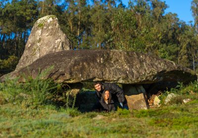
This route runs along 13 kilometres, through which we can discover a total of seven archaeological sites from different periods and types.
These are resources of great cultural wealth spread throughout the territory of Carnota, hence the name of open museum.
We begin the route by visiting in Rieiro, in the parish of San Mamede de Carnota, a group of petroglyphs (Prousos Magos), distributed in two stations, which, despite their proximity, have very different characteristics of location and composition of engravings.
From there we move to the Laxe Escrita (Carnota, Santa Comba de Carnota), which has dimensions of 11 x 6 m.
with an almost flat surface and located at the same level as the ground, in a different location from the other stations since it is a lower quota.
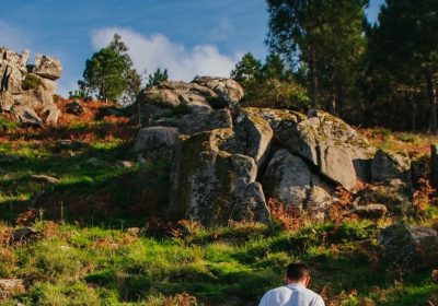
We continue in the same parish moving to the petroglyphs of Outeiro de Rego Lamoso, which are located on a rocky hill that stands out in the environment.
The next stop is the Castro de Mallou, a fortified village from the Iron Age, which belonged to the tribe of the Galician “super tamaricos” or north of the Tambre River.
It is believed that it may have been in operation between the 3rd-4th centuries BC and the 1st century AD. We continue the trail until we reach the Filladouro (also in Mallou), another group of petroglyphs of greater and lesser complexity.
From there we move on to As Laxiñas, a set of engravings on an outcrop located on the slope of the Carnota mountains, which are perhaps the most spectacular in the municipality.
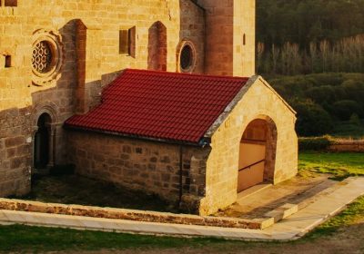
Finally, as a final resort on this route, we have to go to Miñarzo, in the parish of Santa María de Lira, to see the Tower of the Moors, an impressive fortification from the early Middle Ages.
It has a privileged 360º view that stretches from Monte Rubio (Muros) to Cape Fisterra.
Visiting all the resources offered by this route allows us to take a journey through history, from the Bronze Age to the present day.
The highest odds are 300 m.
with the incomparable views of Carnota that this entails.
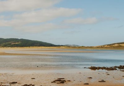
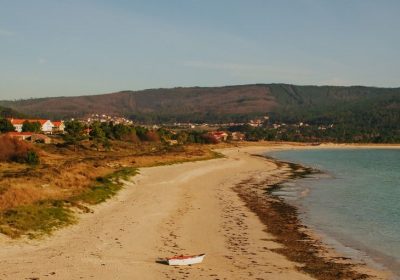
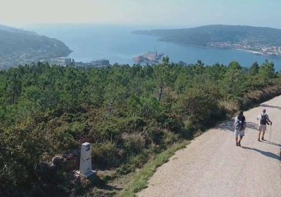
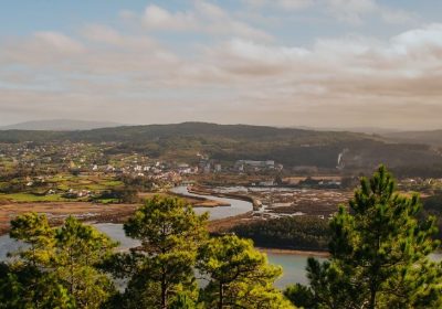
We can see the Carnota beach, the Fisterra Lighthouse, the Corcubión estuary and Mount Pindo.
To discover the seven resources we can follow the Senda Verde, a linear hiking route in which all accesses are signposted.
This route allows us to combine nature, culture and sport at any time.
Both at the beginning and at the end of the route, which can be done in any direction, we find two spectacular viewpoints such as the Mirador de Lira and the Mirador de Louredo.
To rest from this intense route we recommend ending the day watching the sunset from Carnota beach, the longest in Galicia, but not before visiting the famous and spectacular granary of Lira.
Access to the route in our wikiloc profile

