- Route: Circular
- Start/finish point: Castro A Cidá de Borneiro
- Length: 10 km
- Approximate duration: 4 hours
- Difficulty: Moderate
This route begins in the parking lot of the A Cidá de Borneiro hillfort and goes up a forest track towards Monte Gontón.
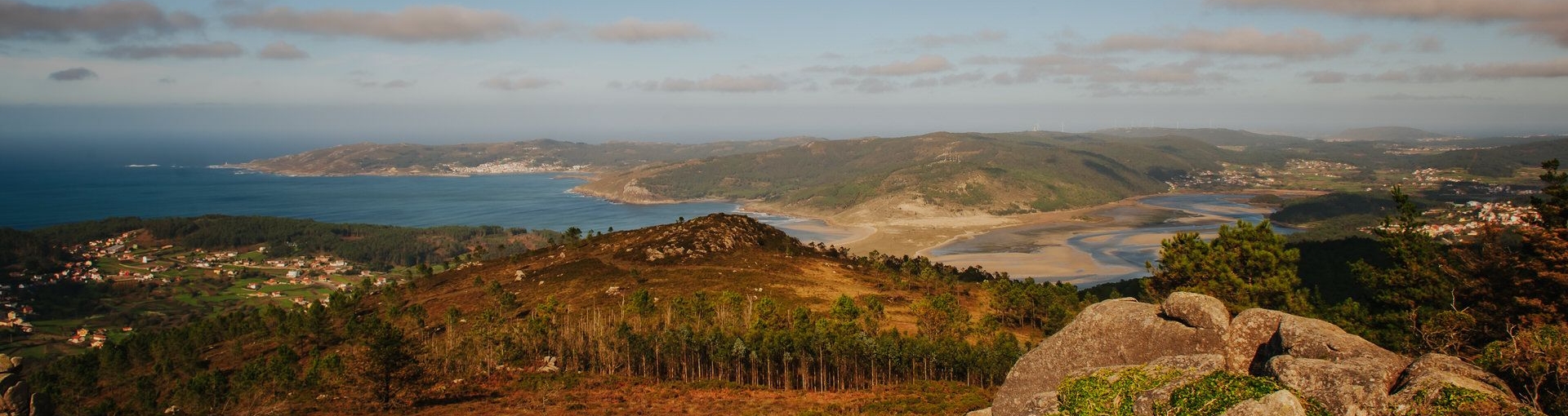
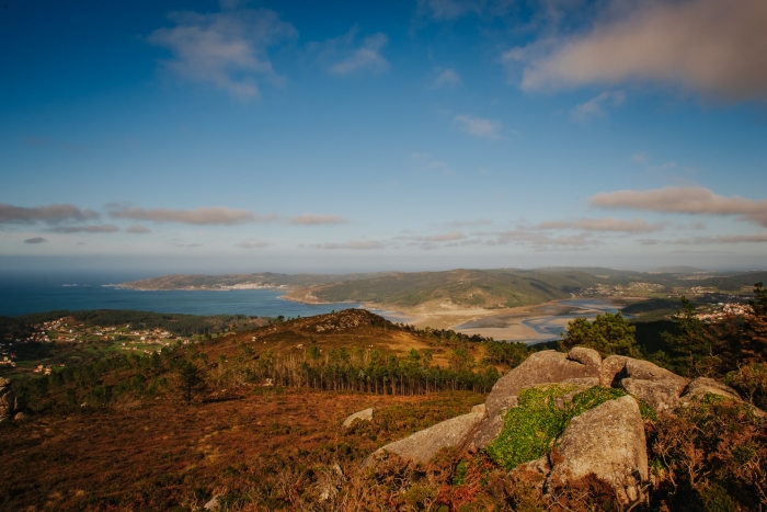
We head towards the Mirador del Alto da Fernandiña for which we link several forest tracks always turning left.
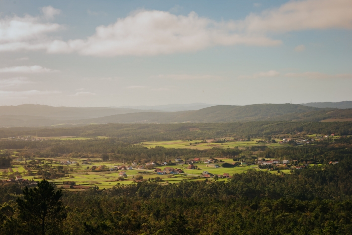
From this natural viewpoint, we can enjoy some of the most beautiful views of the Insua cove and the Anllóns estuary.
We descend from the viewpoint and pass by the place known as Castro or Castelo de Borneiro.
It is made up of the remains of an unexcavated fort that stands out for the grandeur of its defensive system.
Legends say that the Moors lived there and communicated with the inhabitants of the Cidá.
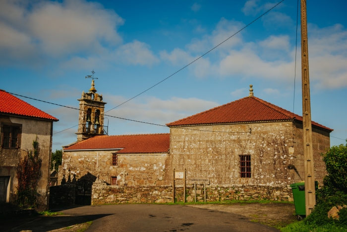
Once in the place of Borneiro we recommend taking the detour to the rectory and church of San Xoán de Borneiro.
Dated between the s.
XVI and XVIII.
Its Baroque altarpiece is the work of the local imagination Juan Martínez and his son Ignacio, who have other altarpieces and sculptures in several churches in the surrounding area.
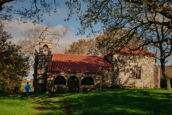
We continue the descent to cross the AC-431 road where we find the sign for the Briño chapel.
Its origins date back to the sixteenth century, although it has been greatly retouched in the eighteenth century.
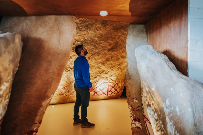
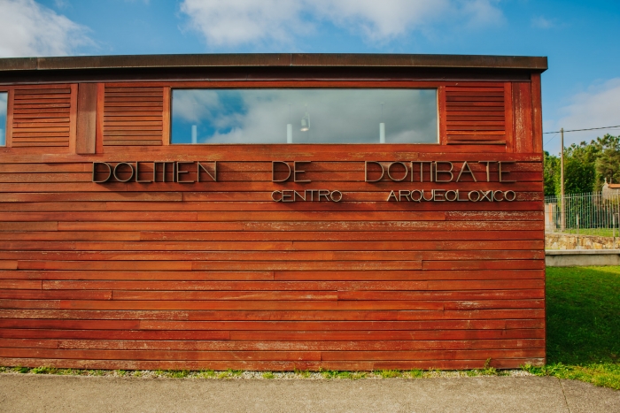
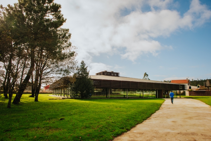
The next stop is the Dolmen Archaeological Center of Dombate.
The Dolmen of Dombate, considered the cathedral of Megalithism in Galicia, is made up of seven large vertical slabs and a roof forming a polygonal chamber of 4 by 2.5 meters.
One of the most important characteristics of this dolmen are the polychrome rock engravings that exist on the inside of the slabs, differentiating several geometric shapes with parallel and oblique lines painted in black and red.
Once we have visited the dolmen, we direct our steps to the last stop on this tour: the Castro A Cidá de Borneiro.
This is a pre-Roman settlement inhabited between the sixth century BC and the first century AD. It is the only fortified enclosure excavated in A Costa da Morte.
It is surrounded by a moat and two defensive walls around its perimeter, except in the eastern part where there is only one due to the slope of the terrain and the river that act as natural defenses.
The constructions, with a predominance of rounded floor plan, are all of a domestic type, except for those existing in the outer or extramural neighbourhood that have an oval shape and had a possible industrial function for storage and smelting of metals.
After this last visit to the Cidá we can go to Cabana and complete the day by walking along the Anllóns estuary.
In this way we would have a very complete session where history is combined with archaeology and the enjoyment of the natural environment in a landscape of great value.
This itinerary is signposted, but we recommend using the GPS because some directions have been missed and it is easy to go off the road at the many junctions.
Access to the route in our wikiloc profile


 1")


