- Route: Circular
- Start/finish point: Punta da Cruz.
Promenade of Muxía - Length: 9.2 km (one way)
- Approximate duration: 2 hours
- Difficulty: Easy
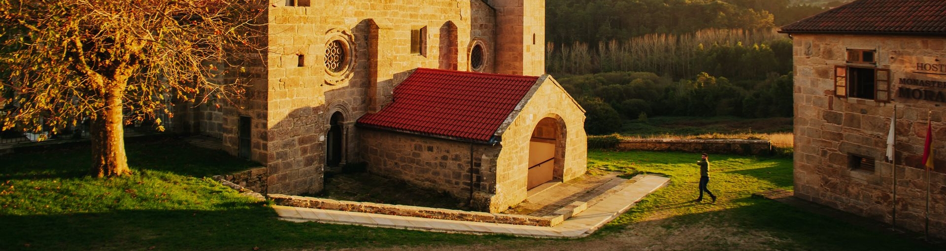
This route proposes a visit to one of the heritage jewels of Muxía and A Costa da Morte: The Monasteiro de Moirame.
A monument often overshadowed by the success of the sanctuary of the Virxe da Barca, but even so we cannot miss it.
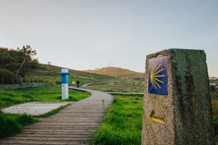
In several sections of this walk we will share the route with the Camino de Santiago so we must be attentive and greet the pilgrims to the cry of ¡Buen Camino!
We start from the viewpoint of A Cruz, just at the end of the promenade, and head for Moraime along the regional road towards the Berdoias crossroads.
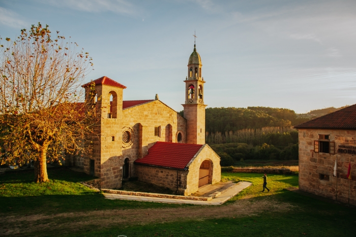
Moraime, an asset of cultural interest, was founded around the tenth century and this monastery is responsible for the birth of Muxía.
For years, the town’s economy and commercial traffic depended on the monks’ mandates.
On the site where the church sits, the only vestige that remains of the monastery, and in its surroundings were found remains from the Roman and Germanic periods.
If you take a walk through the cemetery, you will be able to discover the excavations of a Roman-Christian necropolis.
Nowadays in this place we find a hostel for pilgrims.
Legend has it that a tunnel connected the monastery with Valverde beach, very close to our next stop, the sandy area of Os Muíños – Area Maior.
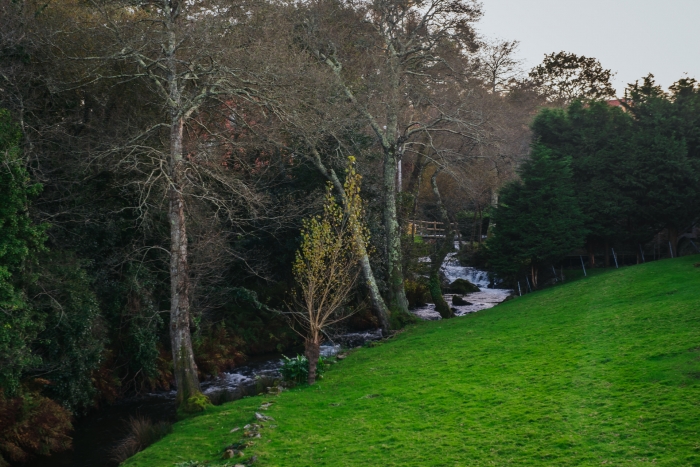
Before we pass through the village of Os Muíños, where we walk along its river promenade observing several water mills.
On the beach of Area Maior-Os Muíños we find a recreational area where we can take a break and even a swim, if the temperatures allow it, and continue the route passing through the village of Chorente, and its chapel of San Roque, until we find the beach of Espiñeirido.
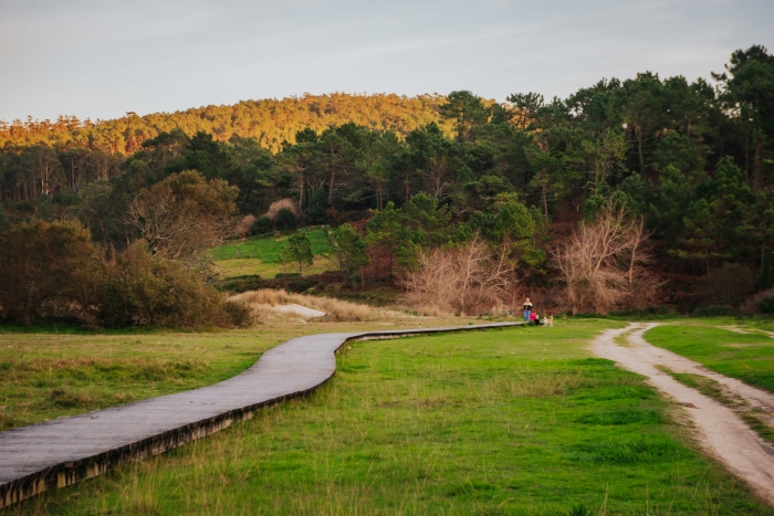
To return to the starting point we would have to continue to the end of the wooden walkways to the motorhome area and link up with the promenade and the town of Malpica.
A route that combines heritage with beaches, landscape and the Camino de Santiago.
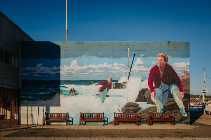
We must complete the day enjoying the local gastronomy in Muxía and visit other points that are also mandatory.
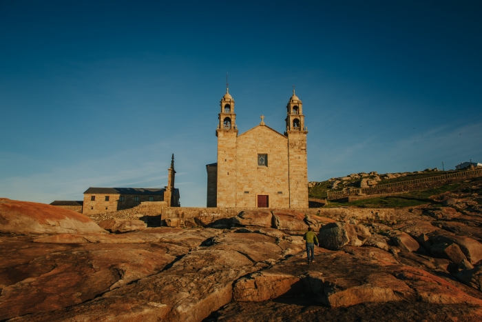
Of course, one of them is the sanctuary of the Virxe da Barca to which we have to add three new icons: the Parador de Muxía, the mural of Claudina in the port and the monolith “A Ferida”.
Access to the route in our wikiloc profile


