- Route: Linear
- Start/finish point: Baio – Dolmen de Pedra Vixía
- Length: 3.8 km (one way)
- Approximate duration (round trip): 1 h.
30 min. - Difficulty: Easy
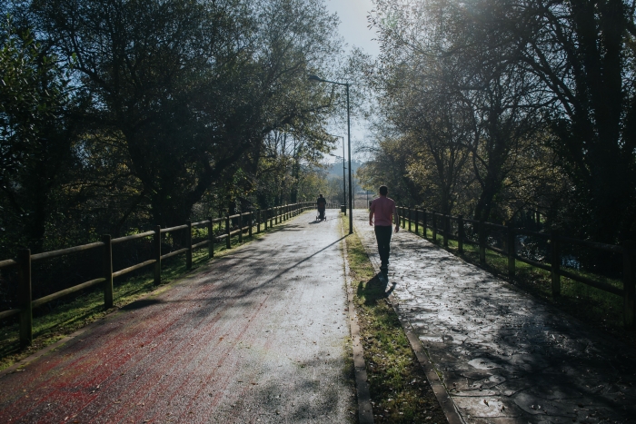
We start this route in Baio from where we take the river promenade towards the Carballeira Municipal.
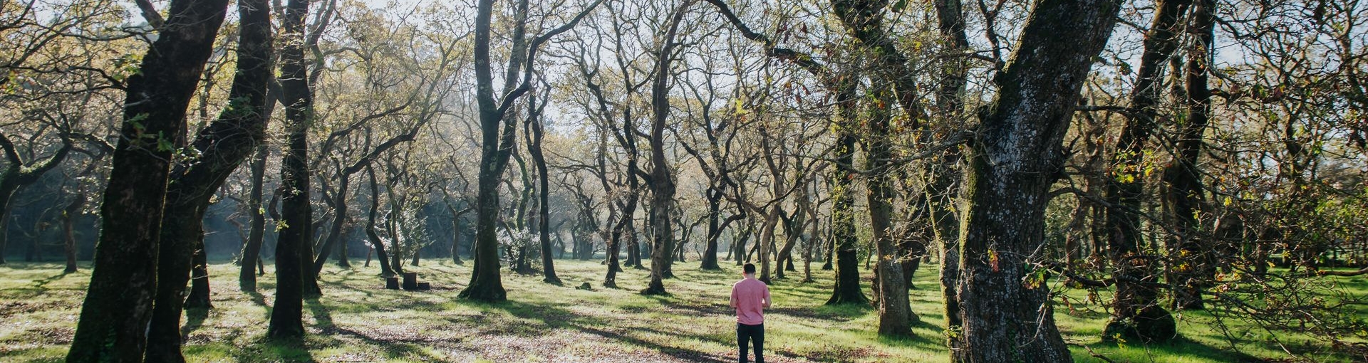
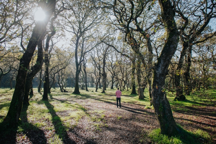
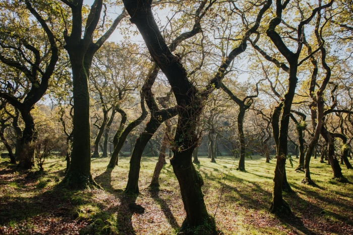
At this point we will be able to observe the twisted shapes that the trunks of these trees have taken, giving a mysterious air to this place.
This does not mean that it is also an ideal place to rest.
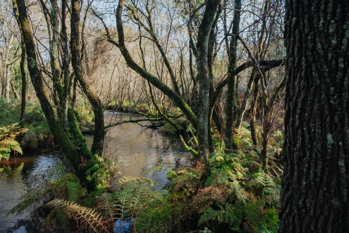
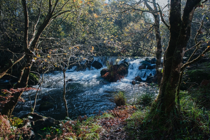
We start the path again bordering the Rio Grande for a stretch that allows us to observe the scenic beauty of this environment and contemplate the rocky islets of the river, some linked by wooden walkways.
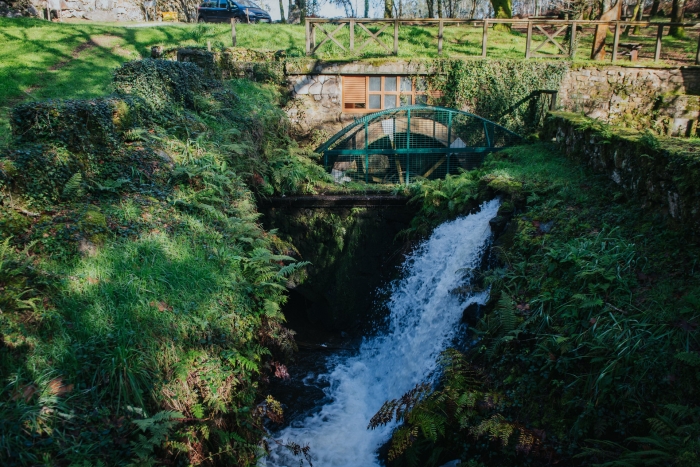
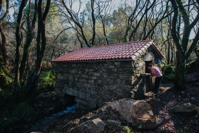
The path gives way to an asphalted section (in front of the institute and until we reach the football field) after which we will find a mill that is still in operation today.
We return to the road until we reach the regional road that connects Baio and Zas.
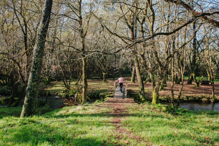
We cross the Grande River and after turning right we arrive at the Pedra Vixía recreational area.
This is located in a place formerly occupied by a sawmill.
It is the right place to make a new stop and enjoy this place, where the bridges invite us to be crossed and the space to be explored.
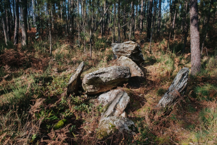
If we continue up the river we will find several waterfalls and mills until we reach the stone remains of A Pedra Vixía.
A dolmen that marks the end point of the route and from where we can return to Baio by making the route in reverse bordering the Rio Grande.
An ideal route to enjoy nature and the outdoors, the sound of the river and its bridges and footbridges.
You should not miss the mill in operation in the recreational area of Pedra Vixia.
From Bamio we can explore the territory of Zas and we propose to discover the works carried out by the Amigos do Liño association recovering instruments, tools and clothing made with this fabric.
If we continue to want to walk, we must follow the recently approved Zas Water Route.
Access to the route in our wikiloc profile


