- Route: Linear
- Start/finish point: Praia do Curro / Ensenada de Lodeiro
- Length: 3.5 km
- Approximate duration (round trip): 1:15 hours.
- Difficulty: Easy
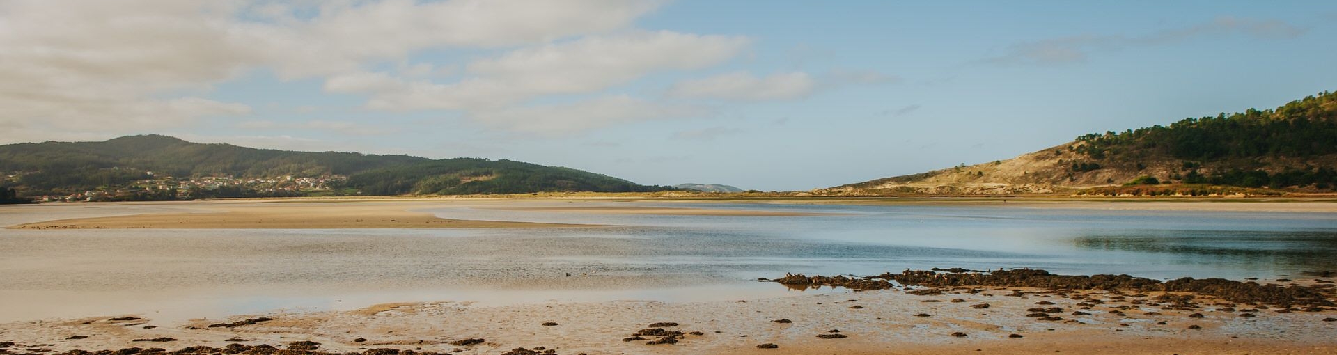
This path allows you to follow the Anllóns River, along the Cabana slope, for its last three kilometres before reaching the sea.
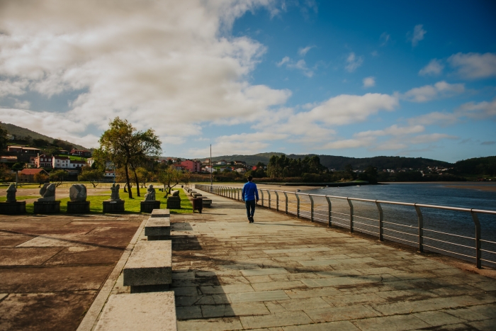
We will walk along a path that is very busy with the residents of Cabana so that during this tour we will be able to feel contact with the local population.
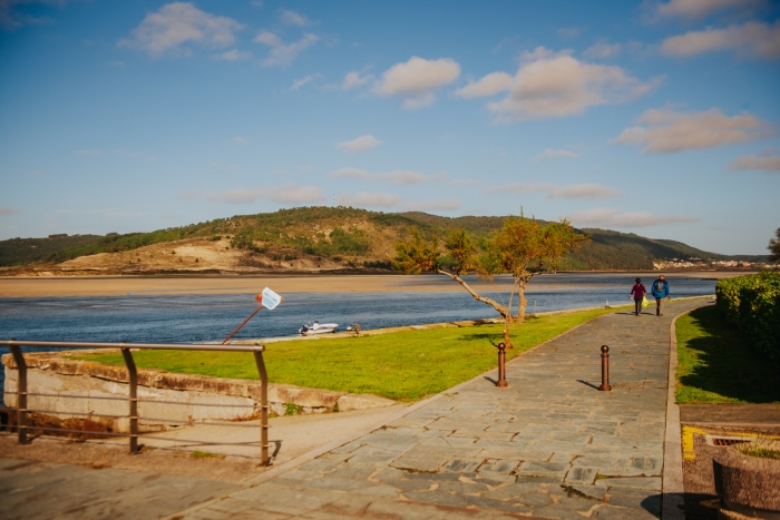
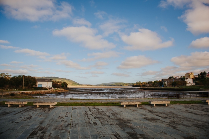
The path, which begins at Curro beach and ends at the Lodeiro essenada, is a fully equipped promenade with walkways and paved.
It can be done in both directions, although the point indicated as the final part is the most comfortable and accessible to reach by car.
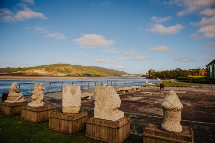
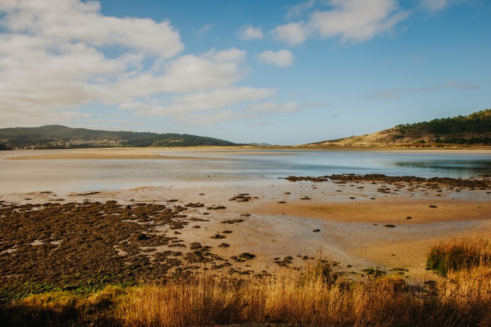
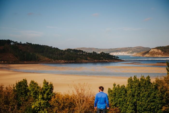
A place with a high scenic, natural and ethnographic value where we can observe native and migratory birds, endemic flora, boats, shellfishing and samples of old trades and craft traditions such as riverside carpentry.
A landscape changing to the rhythm of the tides.
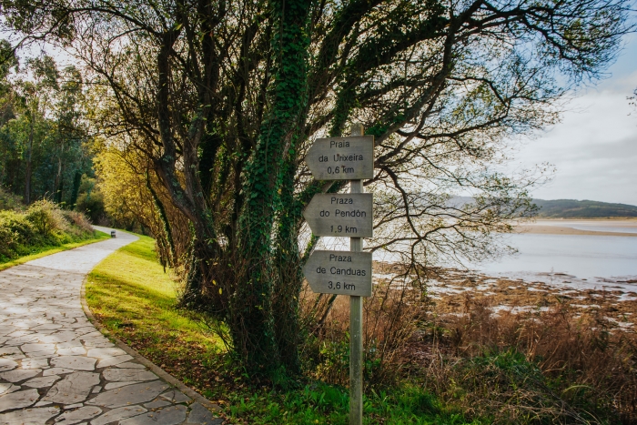
As intermediate points on the route, the Urixeira beach stands out, where we find a bird watching hut, and the large Cabana Park next to Carballa beach.
Part of the stage of the Camiño dos Faros that connects Ponteceso and Laxe also runs along this route.
At the end point of the route in Lodeiro we find the beginning of a path that, through the Rego dos Muiños route, takes us to the Castro de Borneiro.
A very interesting alternative to complete the day in Cabana linking with the archaeological route where the aforementioned fort and the famous Dolmen of Dombate stand out.
Access to the route in our wikiloc profile


