- Route: Circular
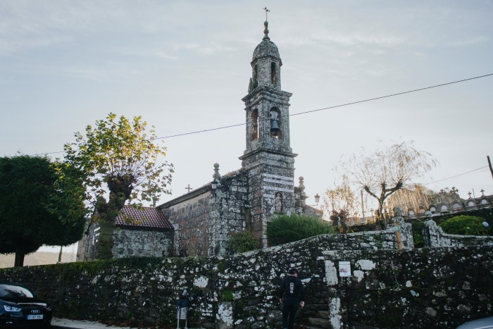
- Start/finish point: Church of San Pedro de Berdoias
- Length: 9 kms
- Approximate duration: 2 hours
- Difficulty: Easy
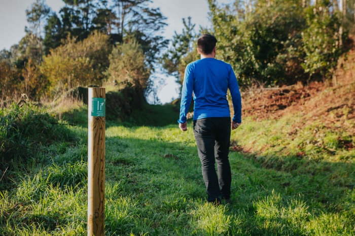
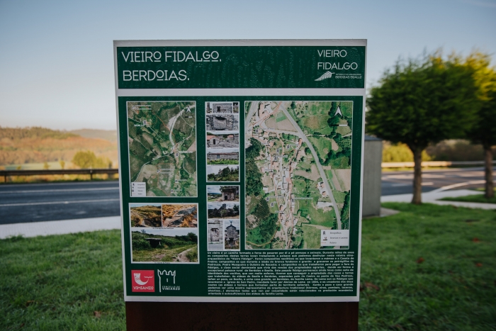
A perfectly signposted hiking trail that connects the places of Berdoias and Boallo with their interesting historical, ethnographic and archaeological heritage.
There are two circular trails connected by a round trip, which facilitates different options to do the route: only the Boallo part, only the Berdoias part, or the entire route.
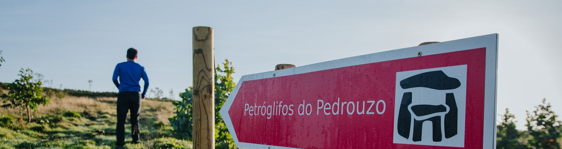
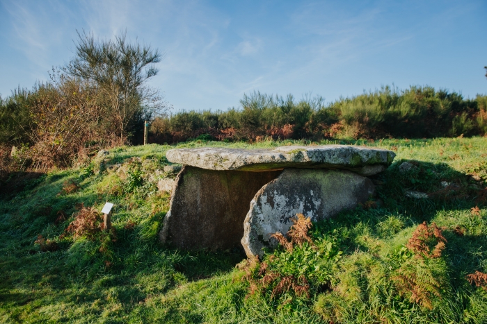
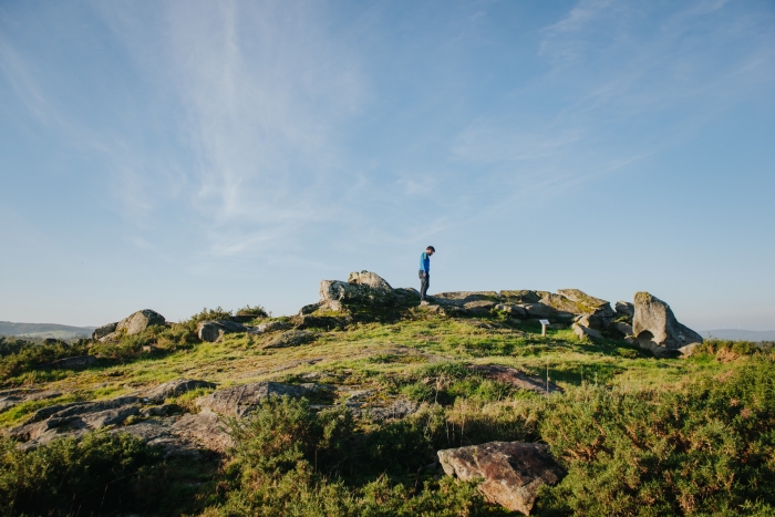
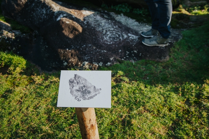
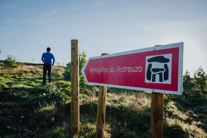
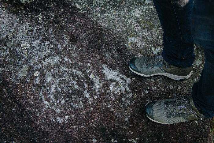
We start at the church of San Pedro de Berdoias and enter the nucleus to turn uphill towards the mountain looking for the petroglyphs of Pedrouzo. We skirt the mountain to return to Berdoias passing by the archaeological remains of the Casota de Freáns, perfectly visible at the foot of the road, and the mámoa de Freáns, hidden, but with an information panel.
We cross the place of Berdoias and head to Boallo, but not before appreciating the many examples of popular architecture in the houses, threshing floors, mills and dovecotes.
Before reaching Boallo we pass by the oak groves of Chavín and San Roque and the chapel of the same name.
Once the route is finished, we can return to Berdoias, but with a better knowledge of the archaeological heritage and popular architecture of this place.
A visit to Vimianzo should continue to get to know other landmarks such as the famous castle where one of the most original festivals in A Costa da Morte is held. The Assault, where the Irmandiñas Wars are recalled. Another alternative is to visit the route declared as a Protected Landscape of the Penedos de Pasarela e Traba.
Access to the route in our wikiloc profile


