- Route: Linear
- Start/finish point: Laxe – Mórdomo (Traba)
- Length: 8.7 km.
- Approximate duration (one way): 3 h.
- Difficulty: Easy
Route signposted as PR-G 114 (short-distance path) that runs along paths and paths by the sea.
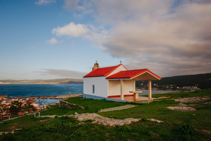
The first part of the route coincides with Punta Insua, deviating from it in Rúa do Campo towards the Chapel of Santa Rosa.
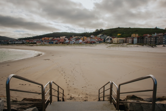
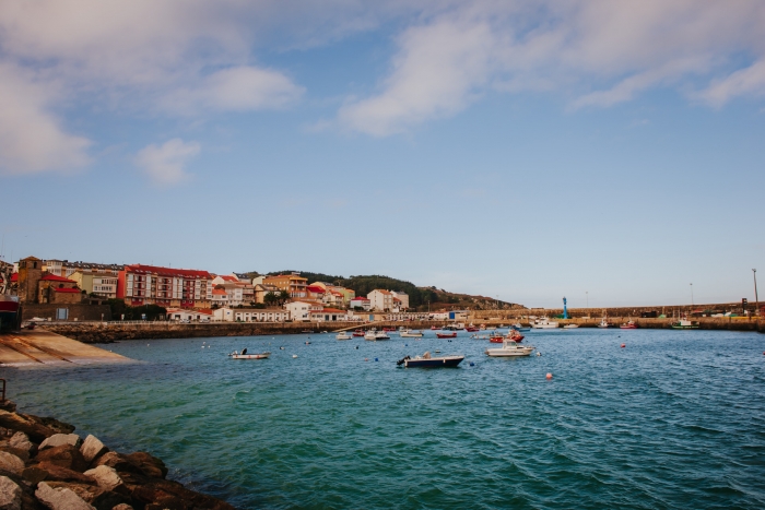
We start the route on the Paseo Marítimo de Laxe, where we find an information panel with the details of the route.
We move through the town to the church of Santa María de Atalaya, in Gothic seafaring style.
We take the path to the lighthouse, but when we reach Rúa do Campo we take the path towards the Chapel of Santa Rosa.
In this elevated place we can enjoy panoramic views of Laxe and the estuary.
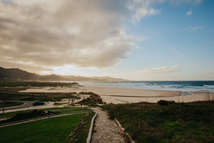
We start the road to Soesto beach where we can make a stop and rest in its recreational area.
Many surfers come to this beach, but we must be careful if we bathe, as the water has many currents.
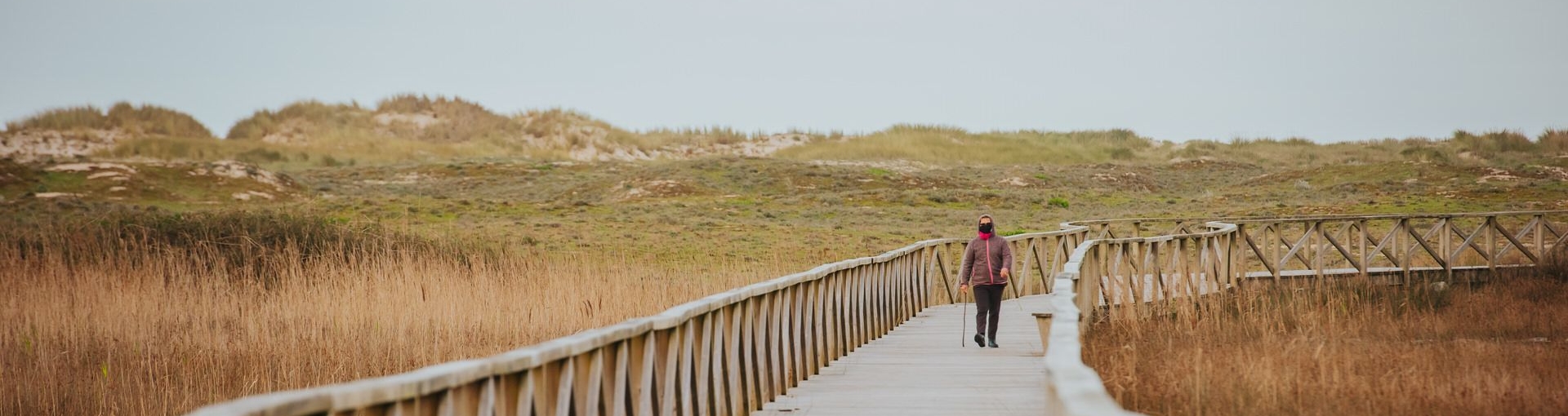
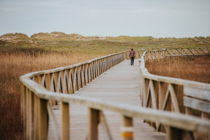
We take the path again and cross the bridge over the Rego de Soesto, from which we can continue along a wooden flooring.
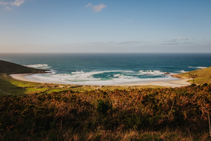
We arrive at Punta del Catasol and from here to Mount O Castrallón and Furna de Arnado, with Traba beach in the background, as well as the wind turbines of Camelle.
Once on the beach of Arnado we start the passage again towards Campo de Almozarro, a recreational area that invites you to rest again in its pine forest.
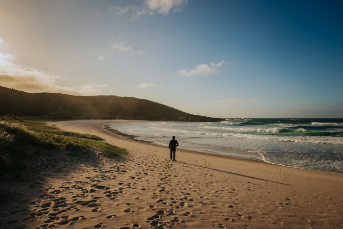
We resume the path again to Traba beach, a section at the end of the route, with the dunes in the background.
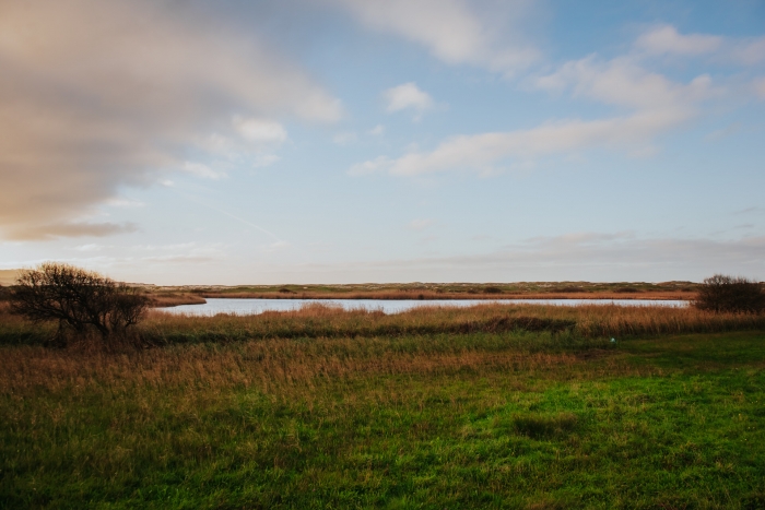
We cross the Rego do Vao by a stone bridge and continue until we pass in front of the Traba Lagoon.
Here we can take a break to observe the many birds that inhabit it (herons, ducks, seagulls…).
Finally, we see the Peña de Mórdomo, the Rascalobos and the Peña Tallada, until we reach the interpretive panel of the lagoon.
We end this route in Mórdomo.
A route that joins an urban space such as the town of Laxe, where we must also visit emblematic places such as the lighthouse and the beach of the crystals, with one of the places of greatest ecological value in A Costa da Morte: the Traba lagoon.
To conclude the day we can stay on the beach resting and contemplating the spectacular kite surfing maneuvers or go to the next Camelle and rediscover the figure of Manfred Gnädinger, Man, visiting the museum and garden that remembers his life and work.
Access to the route in our wikiloc profile


