Route through A Ameixenda

Cee

Find out more about Route through A Ameixenda

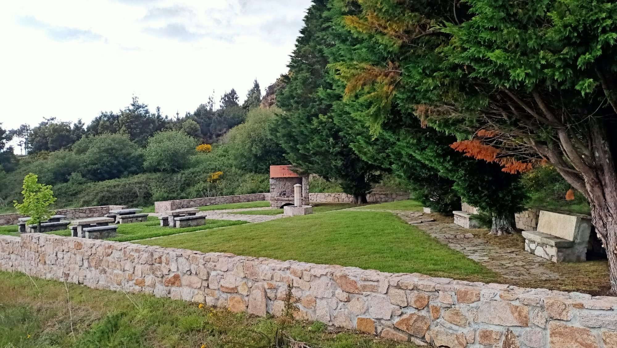
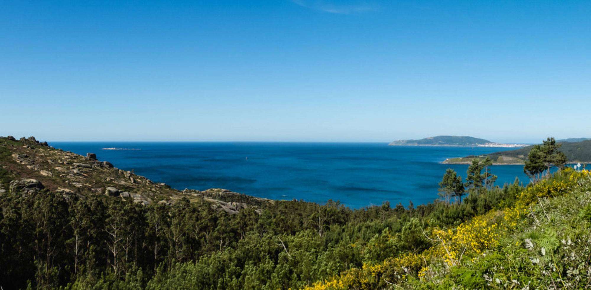
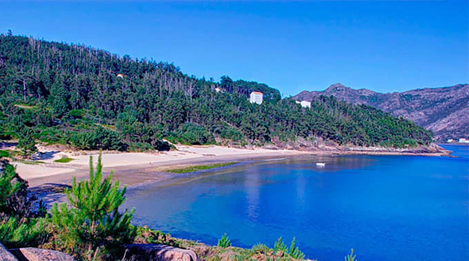
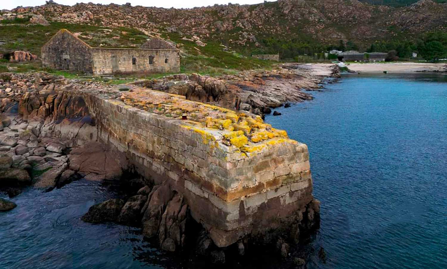
The Route through A Ameixenda is a scenic circular hiking route that blends mountain and sea, ideal for discovering the natural and cultural wealth of Costa da Morte. Starting and ending at Portela do Canizo (Ameixenda), the trail includes stunning spots such as Leiriñas and Illote beaches, the surroundings of the old Castelo do Príncipe, the rocky formations of Monte da Peneda, the historic Caneliñas beach (former whaling site), Gures beach and village, the chapel and spring of As Dolores, Monte da Igrexa, Campo do Sacramento with its cruceiro, the church of Santiago de Ameixenda, the Fumes do Cal stream and Petón do Campo.

This trail offers a perfect mix of Atlantic coast and inland Galicia, with breathtaking views and rich local heritage. With an estimated duration of 3 to 4 hours and medium difficulty, it’s a great option for a half-day hike. A highly recommended route for those who want to explore the hidden corners of Costa da Morte.

Route details: Self-guided itinerary. Bring water, a snack, and wear suitable footwear and clothing for both coastal and mountainous terrain. This route is perfect for enjoying a quiet walk through some of the most scenic landscapes of the region.

Powered by Wikiloc

Routes and hiking

Other routes on the Costa da Morte

Tearing down walls with paint. Carballo

Knocking down Walls with Painting is an urban art initiative that is turning Carballo into a real op...

PR-G 114 Laxe – Lock

Route: Linear Start/finish point: Laxe – Mórdomo (Traba) Length: 8.7 km. Approximate duration (one w...

Route through A Armada

The Route through A Armada is a short but powerful path that overlaps with the entrance of the Camin...

Megalithic Corridor Route

SPECIFICATIONS: Total kilometers: 41 kilometers. Access by vehicle: Pedra Cuberta, Arca da Piosa (By...

Through the dolmens of Soneira and Bergantiños

TECHNICAL CHARACTERISTICS of the Route through the dolmens of Soneira and Bergantiños: Total kilom...

PR-G 158 Costa da Morte Route

Route: Circular Start/finish point: Ruins of the Castle of O Soberano (Camariñas) Length: 22.5...

Baio river route. Zas

Route: Linear Start/finish point: Baio – Dolmen de Pedra Vixía Length: 3.8 km (one way) Approximate ...

PRG-142 Route of the waterfalls. Carballo

Route: Linear Start/finish point: Brea – Entrecruces (Carballo) Length: 18.6 km (one way) Approximat...

Route Sendas do Mar De Razo a Baldaio

Route: Linear Start/finish point: Porto de Razo. Praia de Baldaio Length: 5.5 km Approximate durati...

Santiago Route of A Ameixenda

The Santiago Route of A Ameixenda is a short but highly symbolic trail that brings to life the legen...
Logo Cmat Color Fondo Transparente
Privacy Overview

This website uses cookies so that we can provide you with the best user experience possible. Cookie information is stored in your browser and performs functions such as recognising you when you return to our website and helping our team to understand which sections of the website you find most interesting and useful.