- Route: Circular
- Start/finish point: Ponte do Sisto (Zas)
- Length: 10 km.
- Approximate duration: 2.5 hours
- Difficulty: medium
The common thread of this route is water, as we will discover several mills along the way and beautiful waterfalls.
In addition, the route runs through a rural environment characterised by the geological and natural richness of its mountains, where you can observe the flora and fauna of the area.
Along old recovered paths and riverside paths we will find, in addition to the mills, waterfalls, flora and fauna already mentioned, a fulling mill, granaries, abellarizas, mámoas and a fort, elements that add value to this trail, as well as moments to make stops and enjoy these resources.
After leaving Ponte Sisto, in the first section of the route we will discover up to 6 different mills.
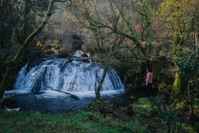
After these, we will start the path towards the Budián waterfall.
Five mills are located in the vicinity of this waterfall.
The river of the Fervenza, Budián or Molino Viejo, has to overcome, at this point, a difference in altitude, of about 40 meters in a stretch of half a kilometer, so the cadoiros are frequent.
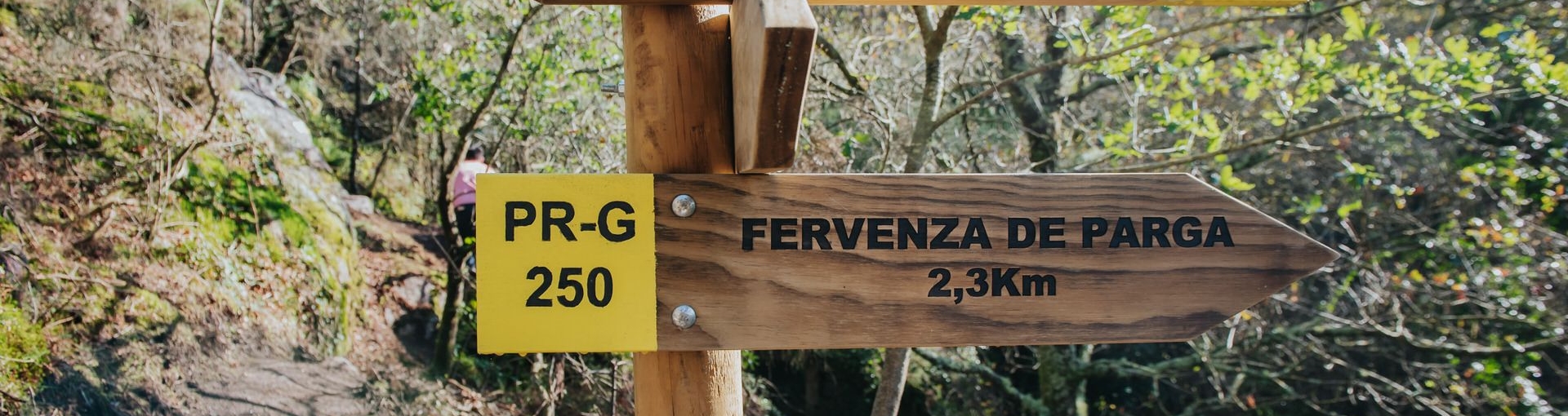
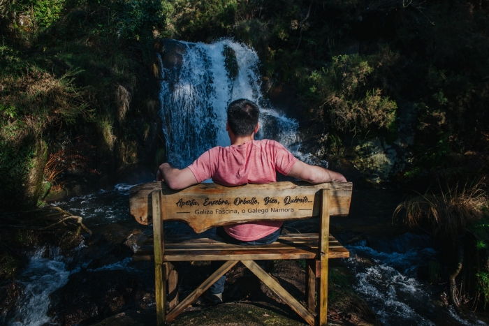
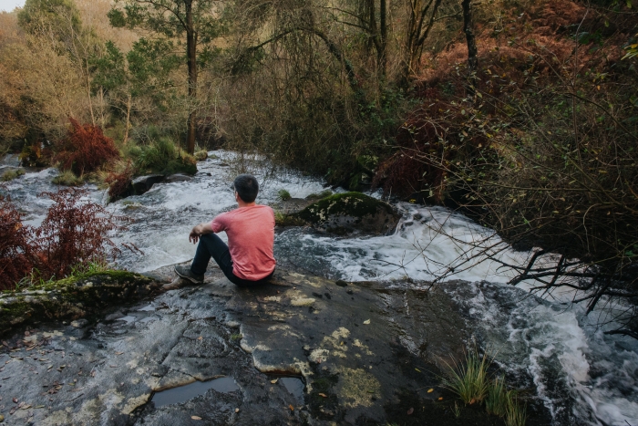
After discovering this waterfall, and taking the obligatory photo sitting on the bench next to the waterfall, we will resume the path passing through the village of Budián, in the direction of the Parga waterfall.
Before arriving, we will pass through the village of the same name and when we are close to it, we will discover a new mill and a fulling mill.
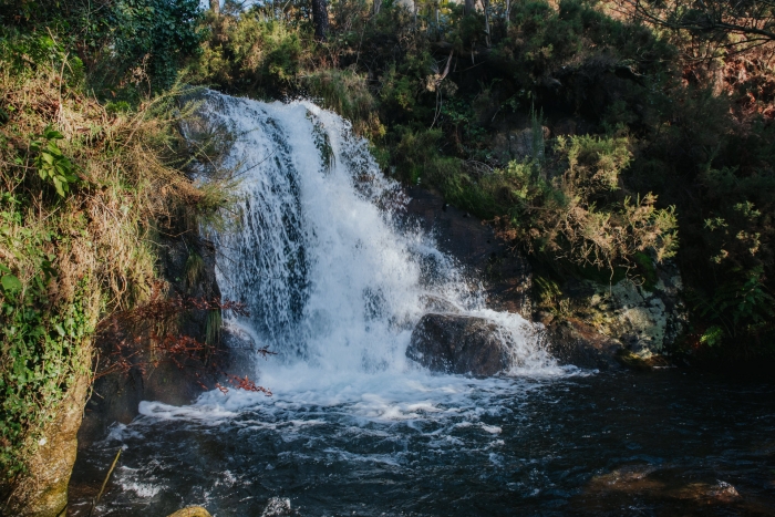
Legend has it that a girl drowned in this waterfall due to the sadness of not being able to be with her beloved and that the young man left and never returned.
That is why, on nights of full moon, when the flow is thunderous, the young woman is still heard calling for her boyfriend.
It is worth making a stop in this place before setting off towards the last waterfall on this route, the Rabiñoso, finding in this case two mills near it.
This waterfall is surrounded by a thick riverside forest and in its surroundings you can see an old flagstone bridge.
We start our journey again towards the starting point, the Sisto Bridge, coinciding the last section of this path with the initial one.
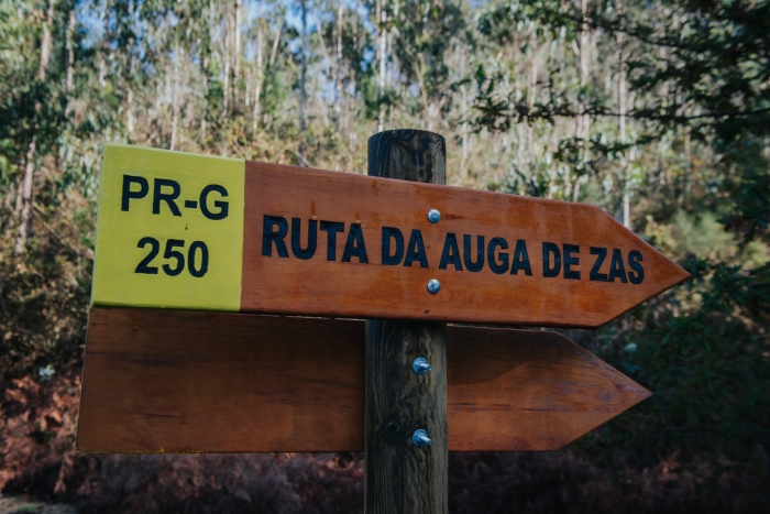
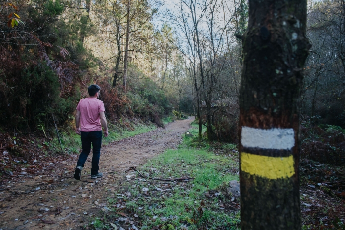
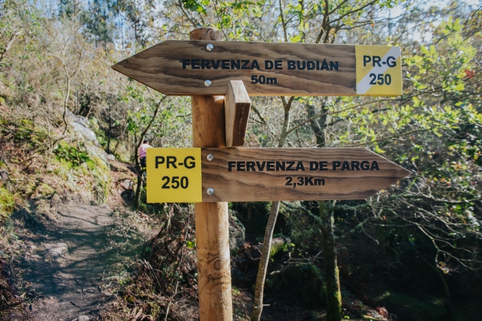
A recently approved route where we find a path in perfect condition, as well as complete signposting.
A route totally immersed in a natural environment in which water is the protagonist.
We will listen to its sound all along the way, especially at the stops at the 3 waterfalls that make it up, where the fall of the water will delight our senses, especially sight and hearing.
We can complete our day in the town hall of Zas with a visit to the place of Baio where we will discover the magical municipal oak grove and the next recreational area of Pena Vixía.
Access to the route in our wikiloc profile


