- Route: Linear
- Start/finish point: Port of Muxía/ Monte Facho viewpoint
- Length: 11.4 km (round trip)
- Approximate duration: 3 hours
- Difficulty: Moderate
The viewpoints located in the highest areas are one of the favorite places on any route.
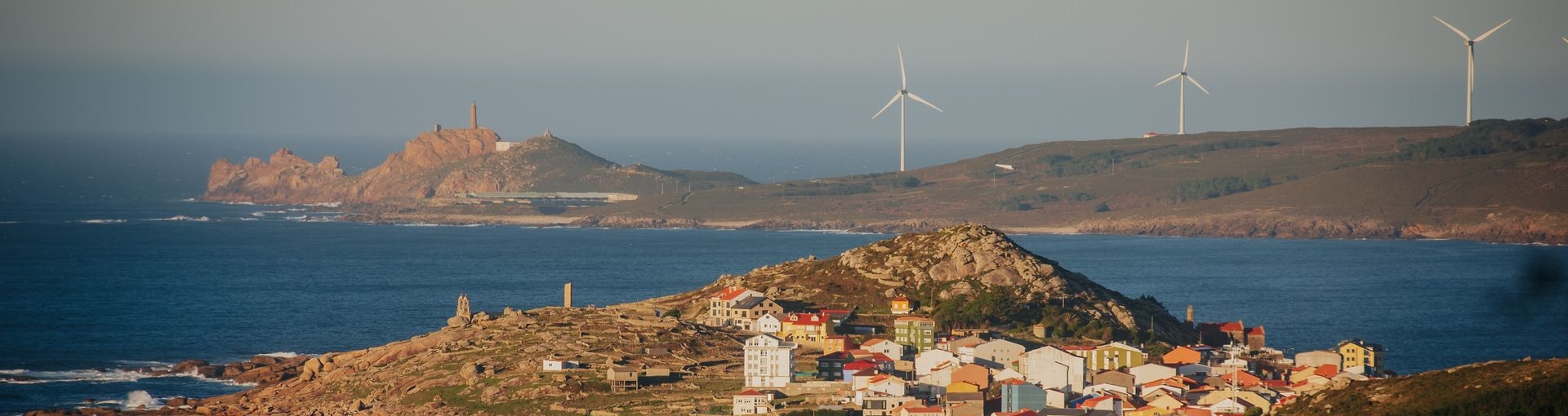
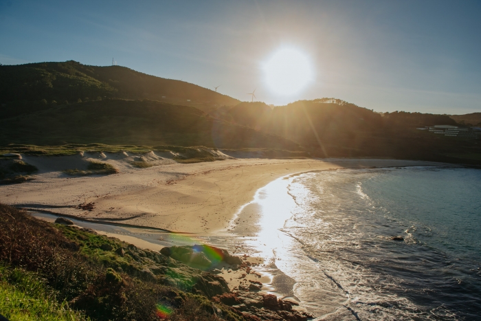
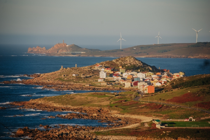
In Muxía we must ascend to Mount Facho to contemplate one of the most iconic panoramic views of A Costa da Morte.
The views of the town of Muxía with the cape and Vilán lighthouse in the background are those that will remain in our retina for a long time once we have finished this trip.
Starting from the centre of Muxía, we skirt the coast along the Coido das Margaridas and Lourido beach.
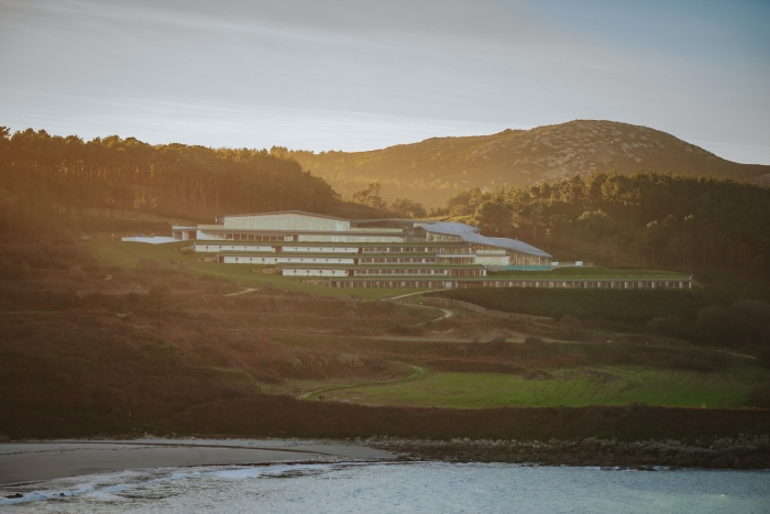
At this point we can see the silhouette of the original and new icon of A Costa da Morte: the Parador de Muxía.
We enter the village of Lourido and begin a steep ascent to the top of the mountain.
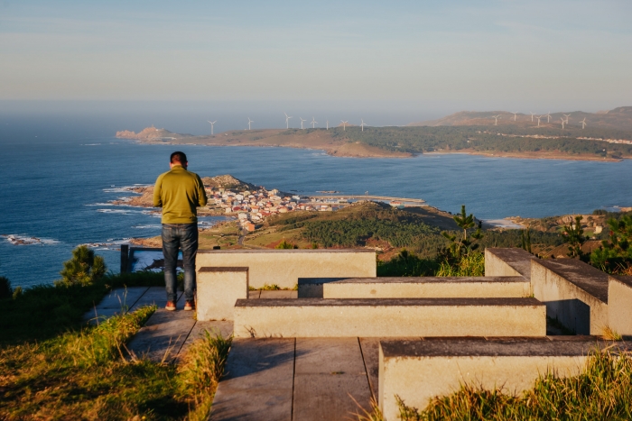
At the foot of the ever-present telecommunications antennas we find the viewpoint with a series of benches where we must sit to catch our breath.
The views are spectacular and it is worth enjoying the moment calmly before starting the descent and returning to the center of Muxía.
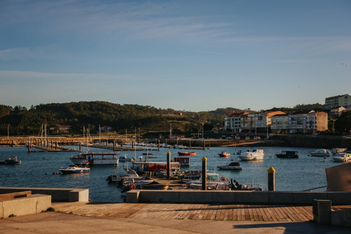
This route can be completed with a walk through the streets and port of Muxía enjoying the local gastronomy and visiting other points of interest.
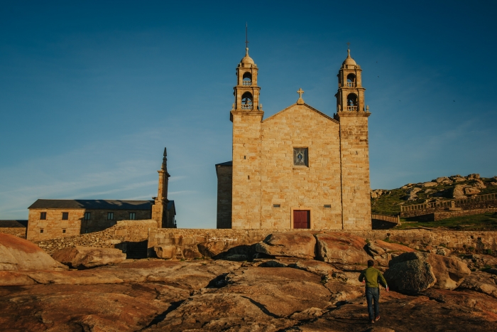
Of course, one of them is the sanctuary of the Virxe da Barca.
Monument rebuilt after being burned in 2013 and where the mythical Piedra de Abalar was located.
During the journey to the sanctuary we can stop at the conger eel drying sheds, which are the only ones in operation in all of Spain, in Coido, ground zero of the Prestige disaster or at the birthplace of Ramón Caamaño, a photographer from Muxía, who immortalized the life of A Costa da Morte with his camera.
A visit to a town that combines heritage jewels, a seafaring atmosphere, the Camino de Santiago and new icons of contemporary art and architecture such as the aforementioned Parador, the murals and the also iconic monolith of “A Ferida”.
Access to the route in our wikiloc profile


