The tumulus that hides a dolmen
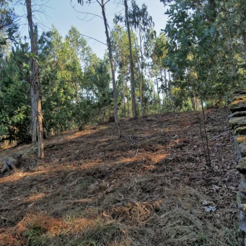
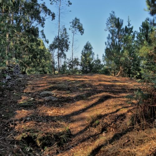
Protected by a huge mound of earth, which reaches almost 40 metres in diameter, is the Arch of Vilaseco.
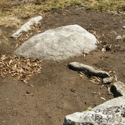
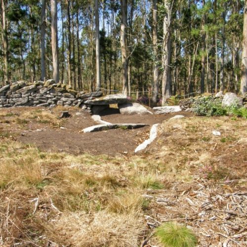
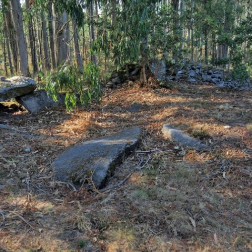
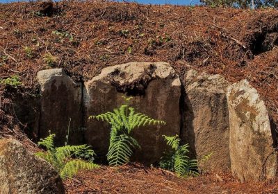
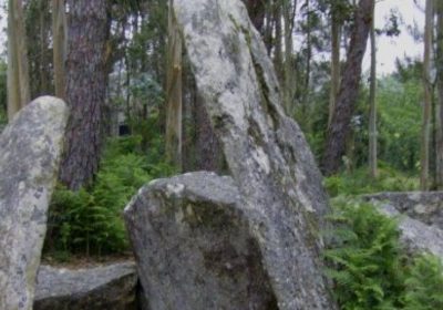
Of this dolmen, which could be one of the largest in A Costa da Morte, you can barely see the upper part of a polygonal chamber, with four stone slabs, part of the corridor facing southeast and one of its covering covers.
In any case, the fact that the megalith is still underground suggests good conservation, which perhaps future archaeological excavations can confirm.
An interesting element is the stone wall dividing estates that passes just above the Arquiña.
This circumstance is repeated in other monuments in the territory such as Pedra Cuberta, Chan das Embarradas or Arca do Rabós.
They tell us that burial mounds and dolmens continued to be used for purposes other than funerary long after the disappearance of the societies that built them.
The megaliths were not only a source of legends and myths for traditional Galician society, but they were also used to mark the boundaries of parishes, farms, preserves…
During the Middle Ages there were a large number of documents in Galicia such as agricultural contracts, land sales… which refer to megalithic monuments as territorial frameworks.
When boundaries were fixed, fixed elements in the landscape were always used, such as rivers, paths or mountains, but also archaeological sites such as tumuli, dolmens, forts and even petroglyphs.

