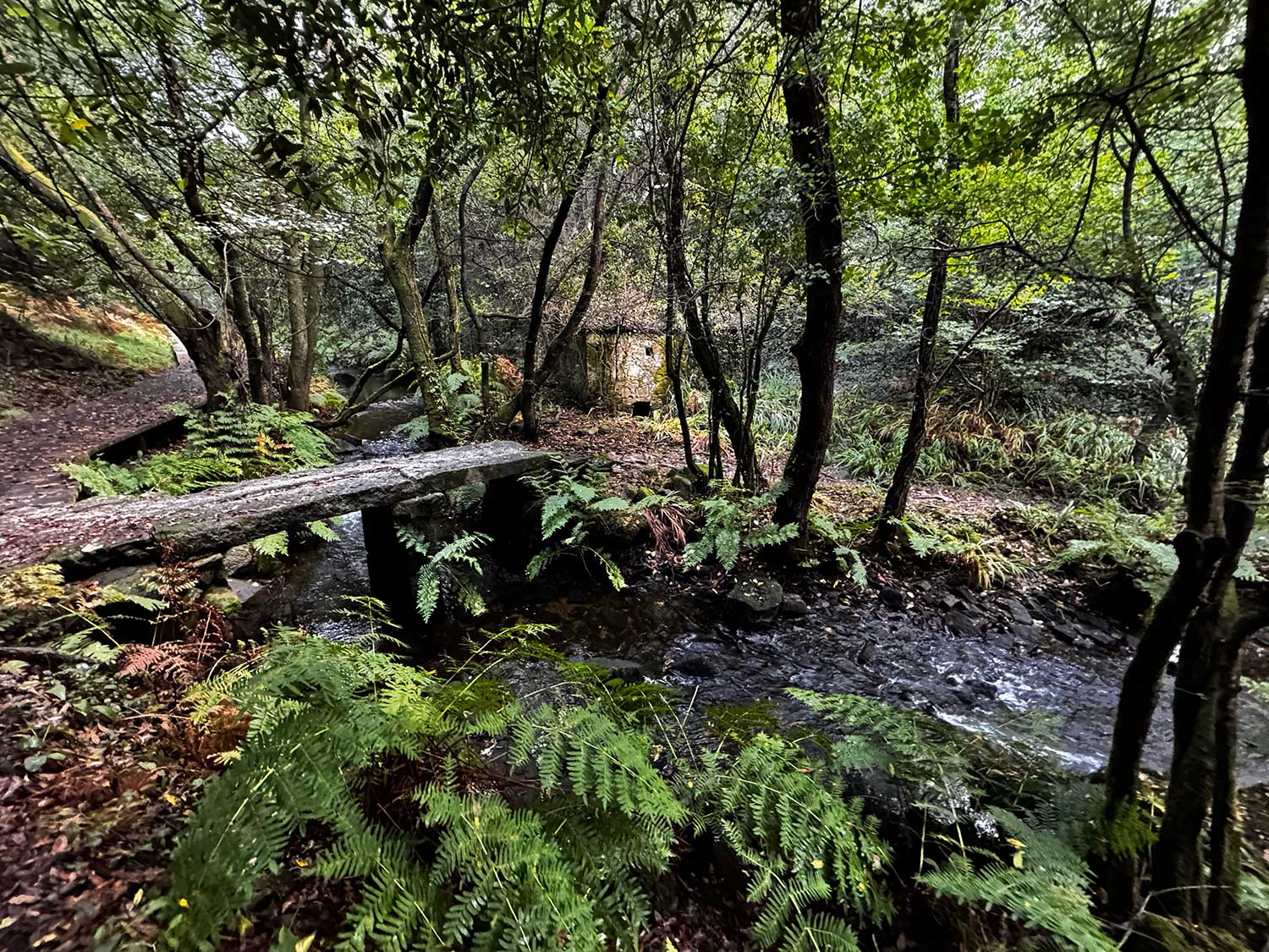
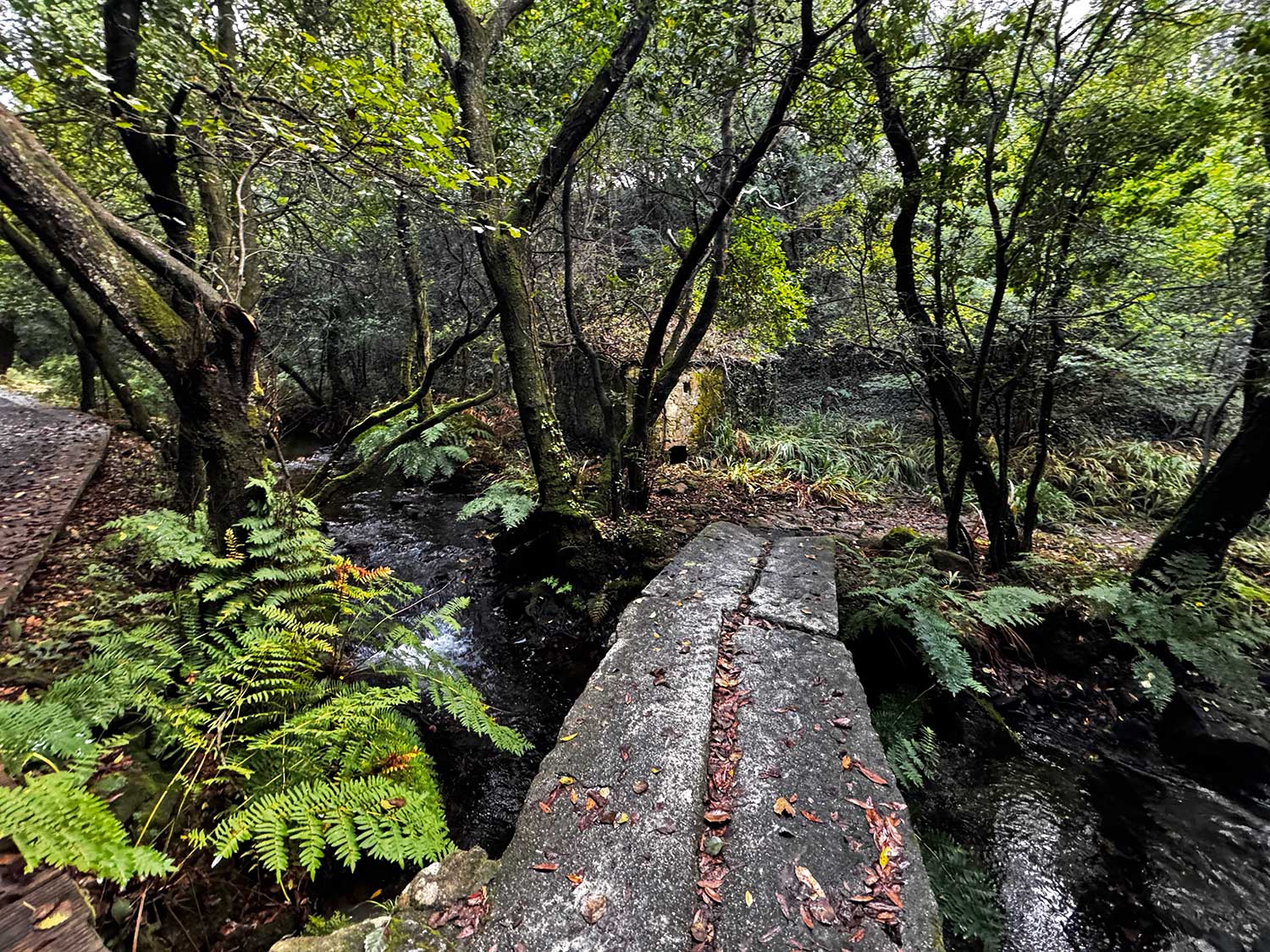
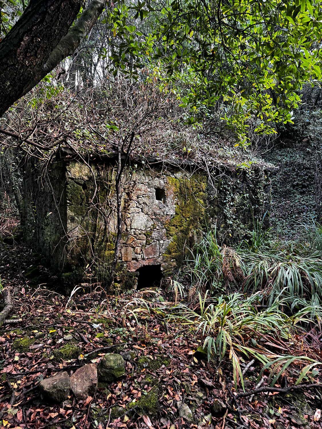
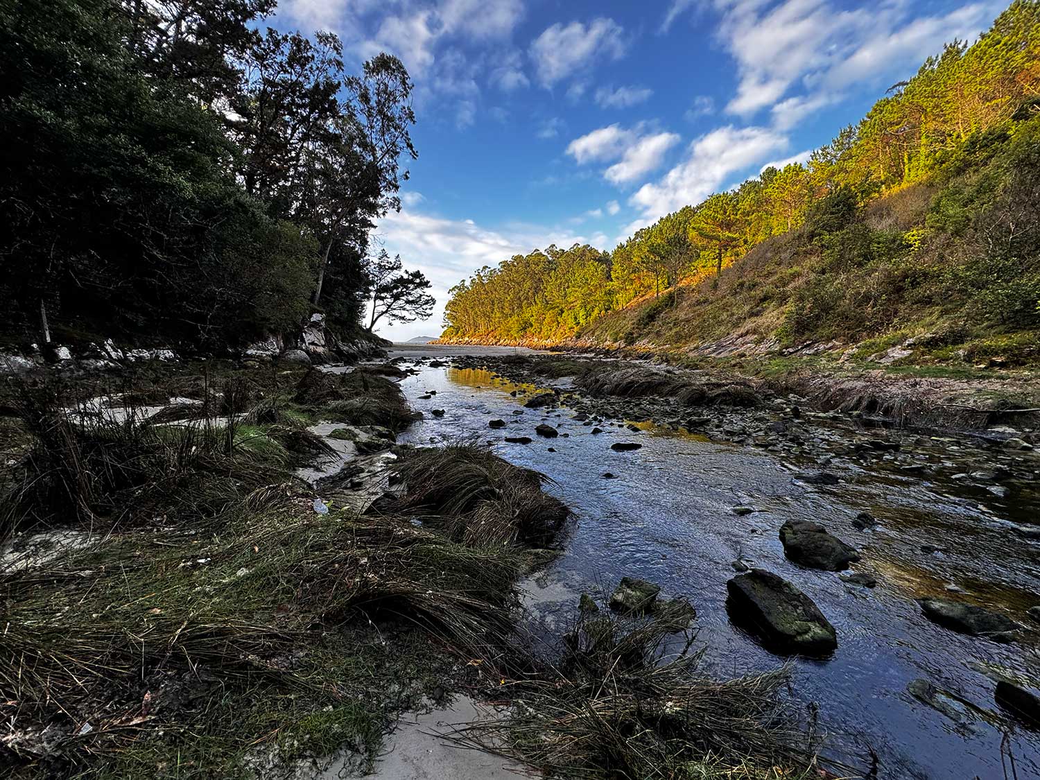
The Río Negro riverside walk is one of the most charming routes in the town of Muxía, located in the parish of Moraime, specifically in the village of Os Muíños. Its name comes from the many traditional restored water mills—seventeen in total—that line the trail, showcasing Galicia’s rich rural heritage and architectural history.
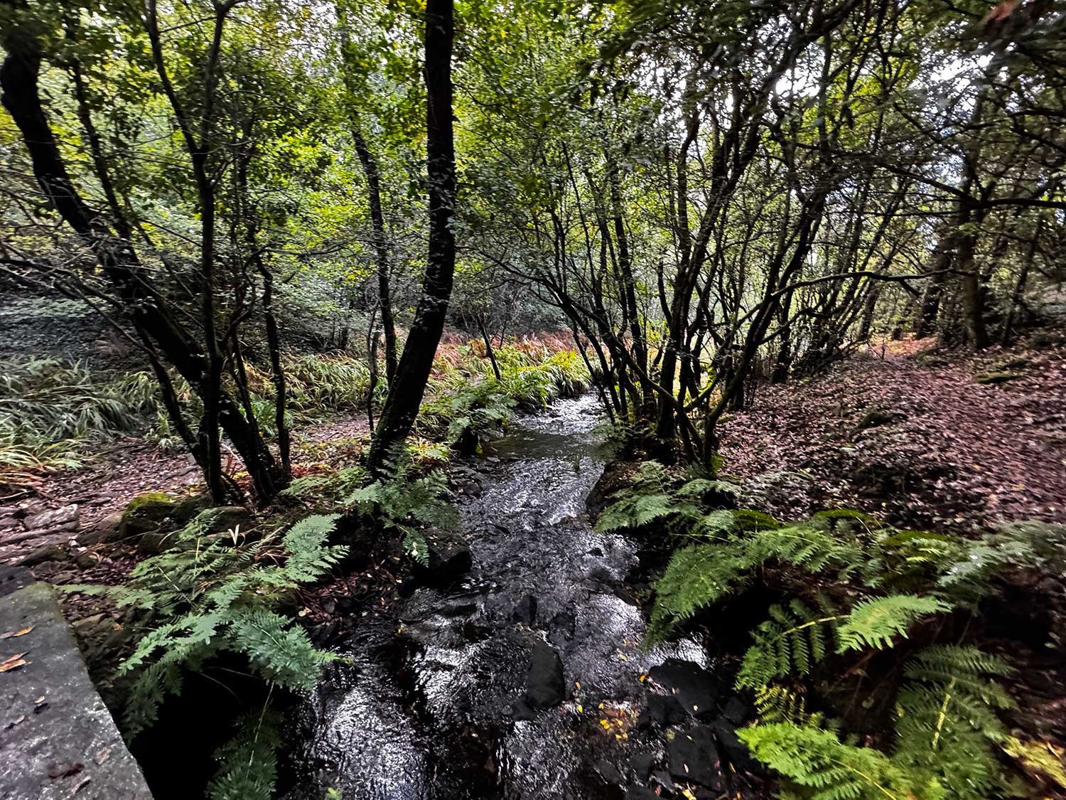
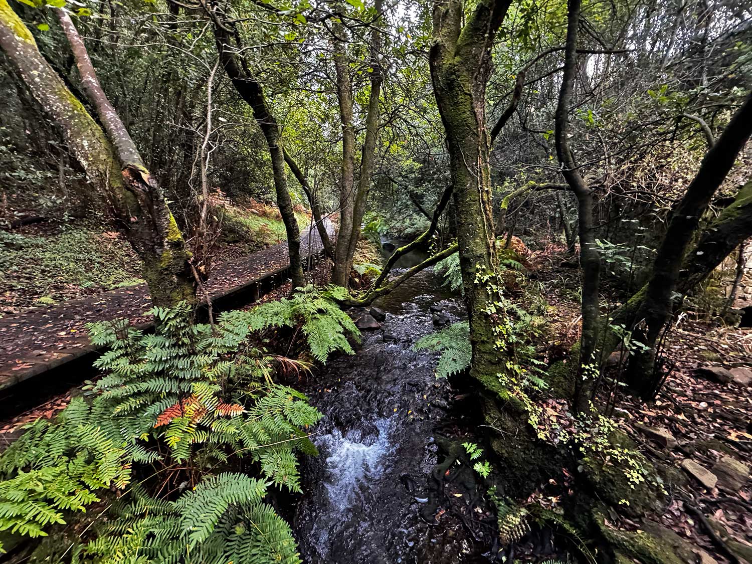
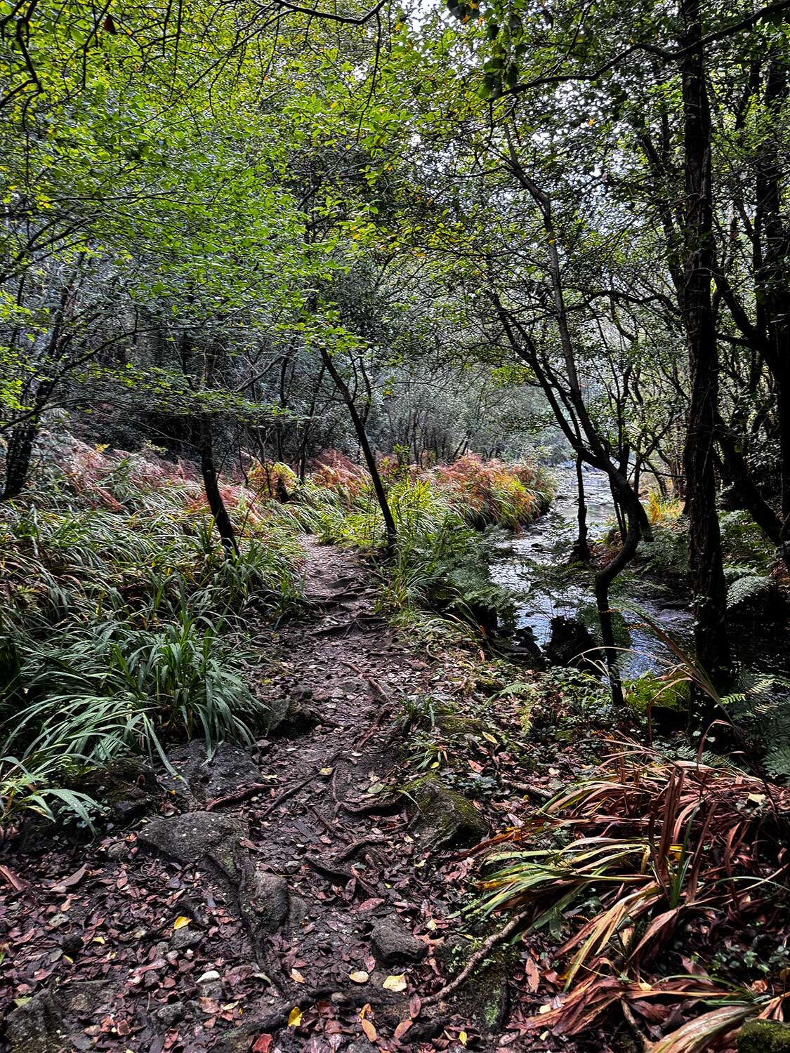
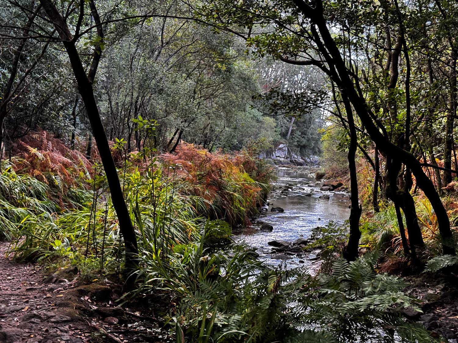
Surrounded by lush vegetation, the Río Negro riverside walk invites visitors to stroll beneath native trees, listen to the flowing water, and immerse themselves in the calm of nature. It’s a family-friendly trail, perfect for a gentle hike or a relaxing walk. Along the way, you’ll witness how water has shaped the landscape and how the mills seamlessly blend into their natural surroundings.
This peaceful route is also ideal for nature photography, birdwatching, or simply enjoying a quiet day out in the heart of the Costa da Morte. Every step is steeped in history and offers a deeper appreciation of the area’s rural charm.
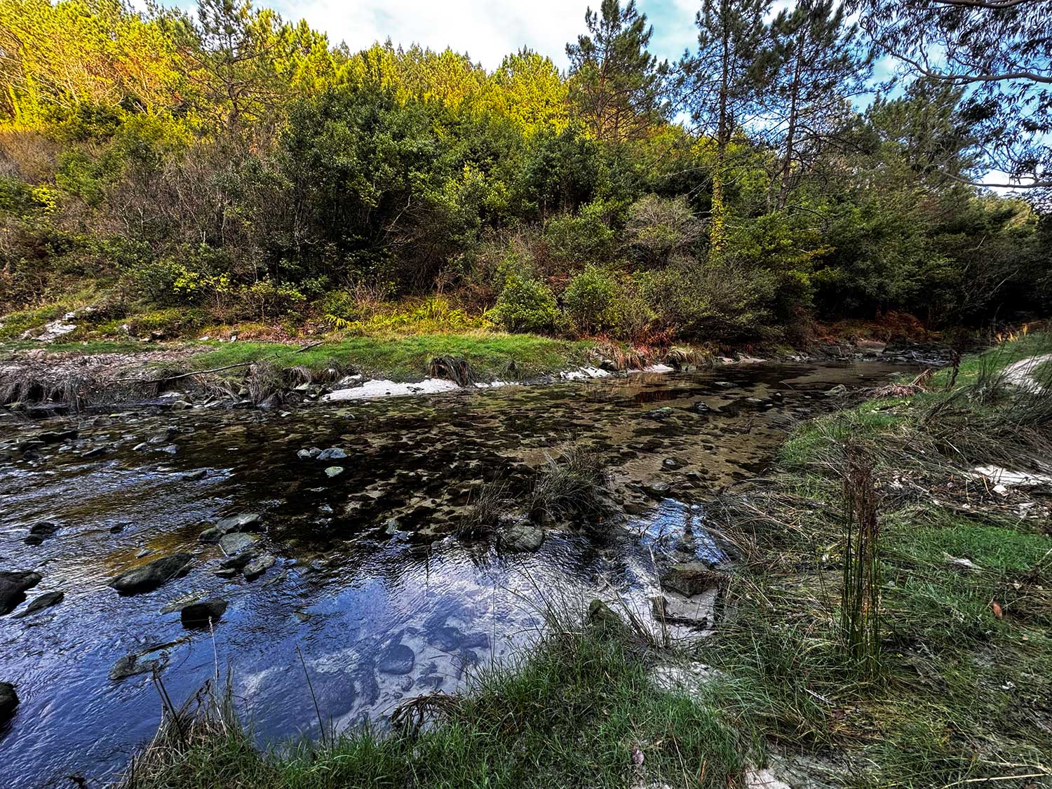
The walk ends at Area Maior – Os Muíños Beach, a wide stretch of sand open to the Atlantic Ocean where you can cool off after the walk or sit back and enjoy the views. It’s a complete experience that perfectly combines inland beauty with the sea.


