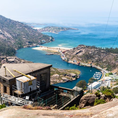
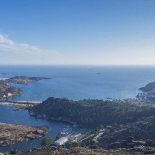
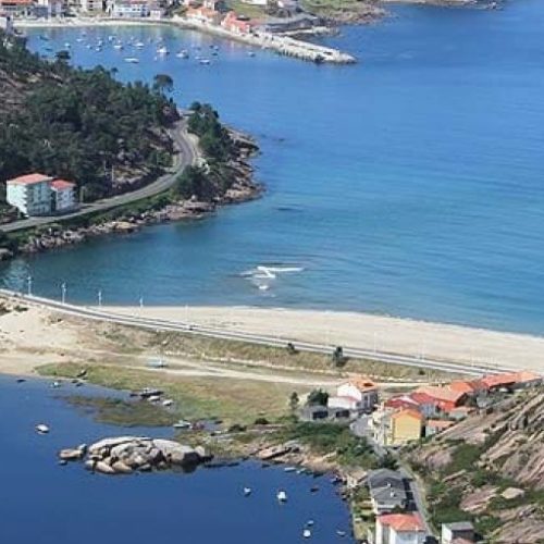
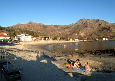
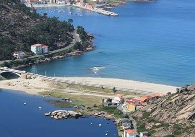
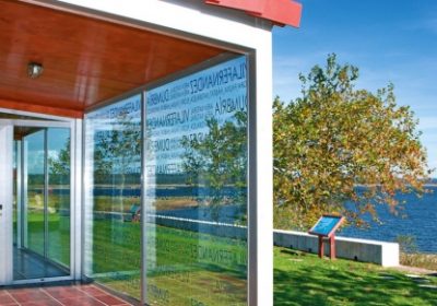
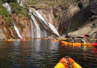
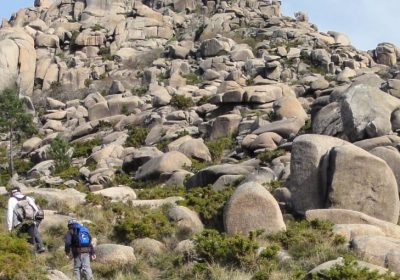
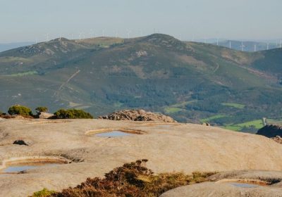
It is located about 1,500 m NE of the main centre of O Ézaro. It has a height of 260m above sea level and from it you can see the granite mass of Mount Pindo known as the Celtic Olympus of the Costa da Morte, the deep steep valley of the course of the Xallas River also known as Ézaro River and its mouth, the silhouette of Cape Fisterra crowned by its lighthouse, the Lobeiras Islands in front, the towns of O Pindo and O Ézaro, as well as the Santa Uxía reservoir.
On August 30, 2012, the viewpoint of O Ézaro was the end of the twelfth stage of the Vuelta Ciclista España. It was an event that marked a before and after in the mecca of sport and tourism of the City of Dumbría. O Ézaro began to be part of the history of cycling, a 3rd category pass but with a heart-stopping finish, barely 2 km with slopes of up to 30%, a challenge in which Joaquim Rodríguez, alias “Purito”, achieved his victory.
The following year, O Ézaro was once again part of the route of La Vuelta, with the viewpoint being part of the stage that ended at Cape Finisterre. As a consequence and to respond to the demand of cycling enthusiasts, the celebration of the Atlantic Challenge cycling event emerged, which is currently known as Gran Fondo Ézaro. On July 4, 2015, the Gran Fondo Ézaro took place and in which the following participated: Miguel Induráin, Claudio Chiappucci, Álvaro Pino, Oscar Pereiro, Gustavo César Veloso, Pedro Nimo, Marcos Pereiro, Ezequiel Mosquera,… accompanied by the great cycling lovers.
* Due to the excessive slope of the road that connects the waterfall with the viewpoint, ramps of up to 30%, access is prohibited for coaches and caravans.

