Marco da Anta (A Laracha)

Culture and history, Megalithism, Prehistory
A Laracha

Find out more about Marco da Anta (A Laracha)

The stone that divides the parishes

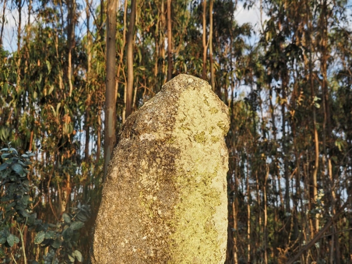
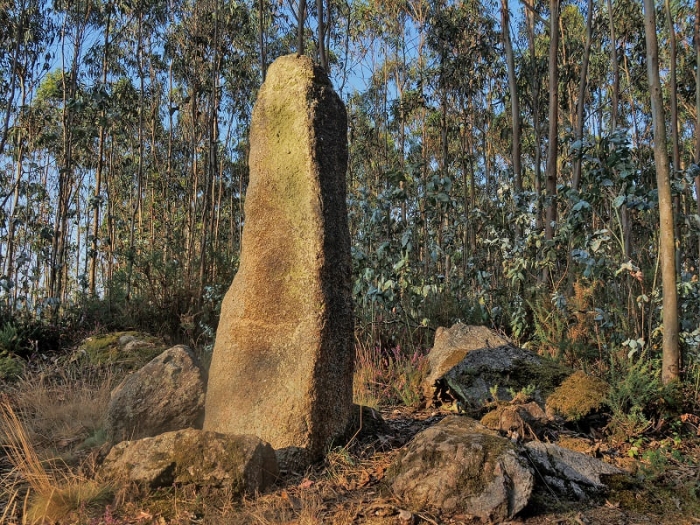
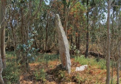
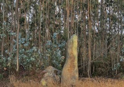
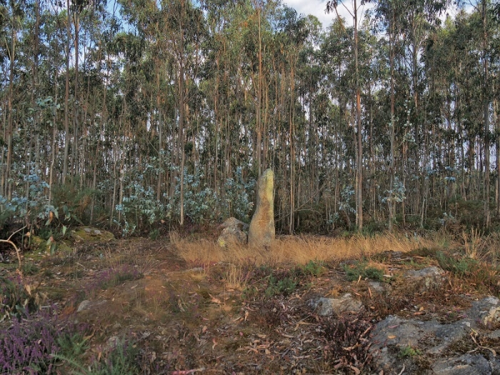
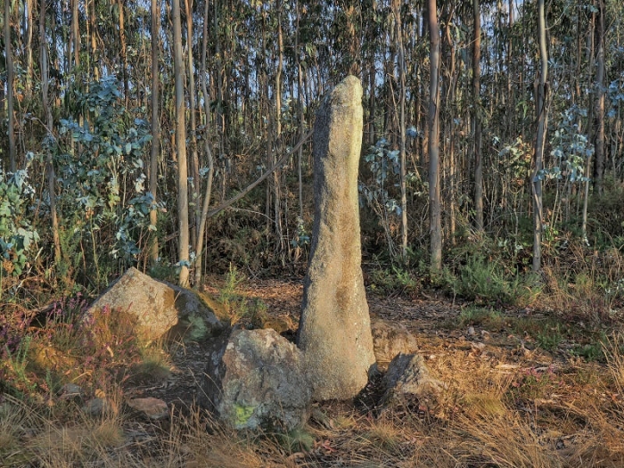
The Marco da Anta is one of the very few “pedrafitas”, or menhirs, documented in A Costa da Morte. However, it has been mentioned since ancient times by such prominent researchers as Carré Aldao or Luis Monteagudo, who visited it around 1950.

The stone, about two meters high, is striking for its peculiar phallic shape due to a horizontal groove near the upper end. This circumstance surely explains why the menhir also receives the curious name of Pedra do Carallo.

The function of the Frame in prehistory is unknown, although several hypotheses are debated among researchers, as a monument linked to funerary uses, fertility rites, an indicator of the presence of a megalithic necropolis or as a landmark delimiting the space. In historical times it seems that it could have functioned as an element that would mark the boundary between the parishes of Erboedo (A Laracha) and Loureda (Arteixo).
Lighthouses, rivers, beaches and much more on the Costa da Morte

Other places of interest in A Laracha

A Laracha: Santa Marta Viewpoint
Another elevated place and away from the urban centers to have a night only illu...
Historic and artistic site of Caión
One of the most attractive images of the coast of A Coruña, repeated a thousand ...
Soandres Gastronomic Festival
Enjoying a good meal, space and activities for the little ones in the house, raf...
Church of Our Lady of Succour (Caión)
The Church of Our Lady of Succour, located in Praza Eduardo Vila Fano, stands ri...
Gabenlle Recreation Area
The river beach is located in Gabenlle, in the parish of Torás, 500 metres from ...
Razo-Baldaio Natural Area
Discover the Razo-Baldaio Natural Area: A nature sanctuary on the Costa da Morte...
Romería dos Milagres de Caión
In Caion there is a fountain whose waters are considered miraculous. It is said ...
Caión Promenade
Route: Linear Start/finish point: Plaza de Eduardo Vila Fano Length: 2 km Approx...
Festa da Fabada de Paiosaco
At the end of September and beginning of October, the harvest of the beans is ca...
Route of the menhirs.
SPECIFICATIONS: Total kilometers: 43 kilometers. Access by vehicle: Pedra Moura ...
Logo Cmat Color Fondo Transparente
Privacy Overview

This website uses cookies so that we can provide you with the best user experience possible. Cookie information is stored in your browser and performs functions such as recognising you when you return to our website and helping our team to understand which sections of the website you find most interesting and useful.